4 Feb 2014
February 4, 2014
Monday morning, cold and clear.
Looks cold in this picture, -21 was the low yesterday at 2240 meters. -34 windchill with 30 K Wind.
Tantalus Glacier Monday morning.
Rumbling Glacier.
Carving on Howe Sound.
Weather observations for February 4, 2014; taken at 06:00 Hrs.
2240 Meters -23, Winds were 15-40 KPH from the E
2180 Meters -26, Winds were 25-40 KPH from the S = -40 Wind Chill at 30 KPH
1860 Meters -24, Winds were 5-10 KPH from the S
1835 Meters -24, Winds were 5-20 KPH from the SSE
1650 Meters -20, No new snow, Base 127
1550 Meters -20, No new snow, Base 93
660 Meters -11, Valley Temp
More of the same, dry cold weather will prevail until Friday. A warm front is scheduled to come onto the coast for Saturday. More on that later in the week. Looking like today may be very cold with temperatures slowly moderating as the week progresses.
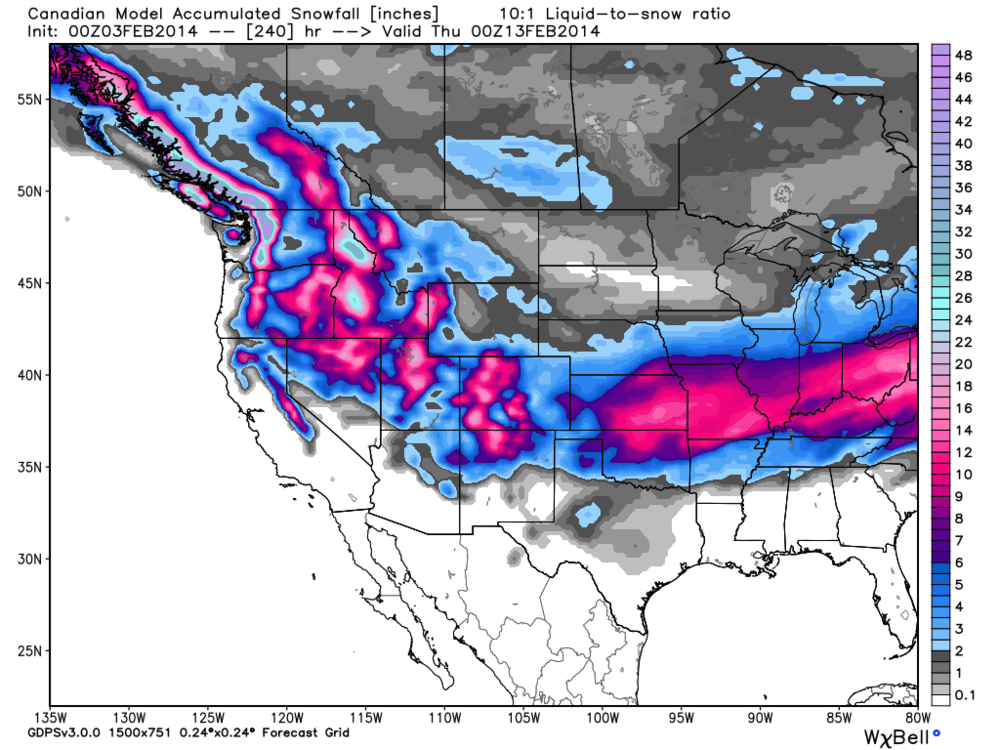
There may be hope in the forecast for some precipitation. The European Model is favouring snowfall for next week.
Just a model, but we can only hope it is some what correct.
Satellite image from yesterday.
Its all about the water: Snowmax
Second Fatal Avalanche in the Belledonne: France
Black Diamond's Evac Snow Shovel: Earn Your Turns
DOT expects Richardson Highway to open this week: Valdez, Alaska
Hatcher Pass Avalanche Center, Avalanche photos: Alaska
Very warm temperatures for Alaska between Jan 23-30, 2014: Earth Observatory
Four Iranians missing, believed to be buried by an avalanche: Hakkari Semdinli District
Stiff breeze on the beach.
Eagle Tree near White Rock.
Mount Baker with an expensive looking barn in the foreground.
Beach reminded me of stratugi.
Windblown surface hoar!


No comments:
Post a Comment