


Weather Observations for April 17, 2015; taken at 06:00 Hours.
2240 meters -3, Winds were 30-55 KPH from the S
2180 meters -1, Winds were 30-45 KPH from the SSW
1860 meters 0, Winds were 10-30 KPH from the SSE
1835 meters +2, Winds were 10-40 KPH from the SSW
1650 meters +2, No new snow, Base 192 cm.
1550 meters +3, No new snow, Base 142 cm, Relative Humidity 65%.
660 meters +3, Valley Temp, Max Temp Yesterday was +16.5.

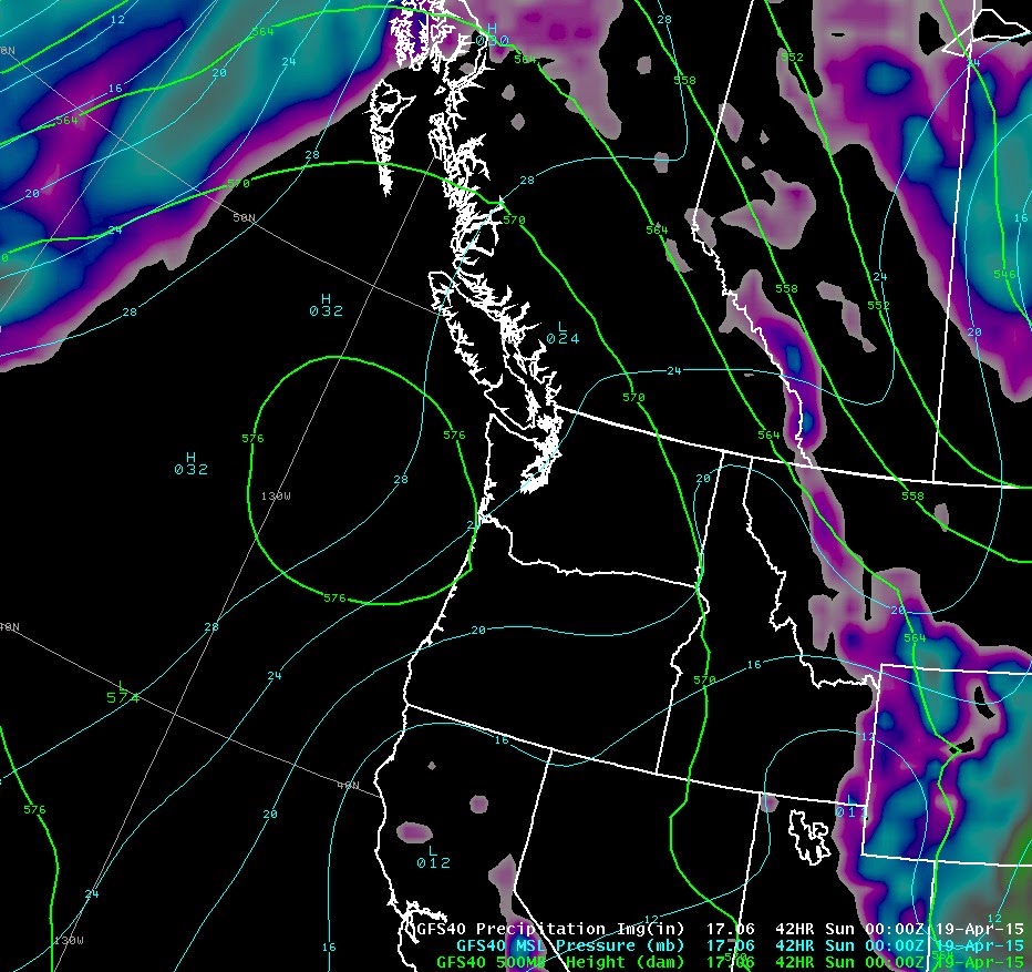
For the forecast, a weak upper trough and associated cold front will bring mostly cloudy conditions with some breaks in a Westerly Flow aloft today. Another day when we are on the edge of the high pressure and cloud from the low to the Northwest. We may get lucky with more sun in the valley. There is a chance of some isolated intermittent showers with the freezing level rising from 1800 meters to 2200 meters this afternoon. A strong upper ridge builds for Saturday with a Northerly flow aloft with warm temperatures into Tuesday. Another weak upper trough pushes onshore on Wednesday with cooler temperature and showery weather.


VIDEO FRIDAYS:
When you are way over your ability: Live Leak
Quad Cork on a snowboard: Billy Morgan
A slow moving land slide: Russia
Vail's Newest patrol Dog: Jake
ARTICLES:
Bad Weather hampering mountaineers efforts on Everest: Tent Bound
Avalanche Danger rising in Colorado: Wet Snow
Weather Update: Avalanche Canada
Spring Slabs: Pistehors.com


No comments:
Post a Comment