
AVALANCHE ACTIVITY:


YESTERDAY:


Weather Observations for February 15, 2017: taken at 06:00 Hours.
2240 meters -2, Winds were 80-100 KPH SE --Horstman Hut
2180 meters -2, Winds were 55-85 KPH S --Whistler Peak
1860 meters 0, Winds were 40-60 KPH SE --Rendevous
1835 meters 0, Winds were 25-50 KPH ESE--Roundhouse
1650 meters 0, 16 cm of new snow, 16 cm in 24 hrs, 268 cm Base, RH 97% --Pig Alley
1550 meters 0, 15 cm of new snow, 15 cm in 24 hrs, 197 cm Base, RH 100% --Catskinner
660 meters +1, Valley Temp, Max Temp Yesterday was +6.1, 3.4 mm of Precip recorded yest
 As of 07:00 hrs this am we have obscured skies, limited visibility and it is snowing 2 cm per hour.
FORECAST:
A strong Pacific front is moving through the zone today with a warm, moist Southwest flow. The freezing level will hover in the 2000 meter range into this evening, and has the potential to spike to 2400 meters mid day. A cold front will move through tonight and the heavy precipitation should abate with the return to snow in the sub alpine and the FL dropping to 1400 meters by Thursday morning. The broad upper trough forecasted for Friday will, now arrive on Thursday with cooler showery weather into the weekend. A series of weak fronts will push through each day over the long weekend with the one arriving on Monday being the most active. The FL over this period will fluctuate from around 1000 meters to surface as the frontal bands push through on a daily basis.
Guesstimates: 15-20 cm( update 25-35) by Thursday morning-25-30 mm during the day, 15-20 cm by Friday morning, 2-4 cm by Saturday mornig, trace-2 cm by Sunday morning.
 Active warm front for today.
 Warm windy wet Pacific front drawing from the sub tropics.
 Cooler front for Thursday with moderate/light snowfall
 Saturday is looking like the driest day, mostly cloudy.
 Looks like a good strom day on Monday with moderate snow fall during the day. 25-35 cm.
OBSERVATIONS & INFORMATION:
 Very thin breakable crust at1850 meters South aspect.
 Transceiver Practise.
 Awareness challenge on P.T.S.D. carefully moving a large tire uphill beside Cloud Nine in the trees.
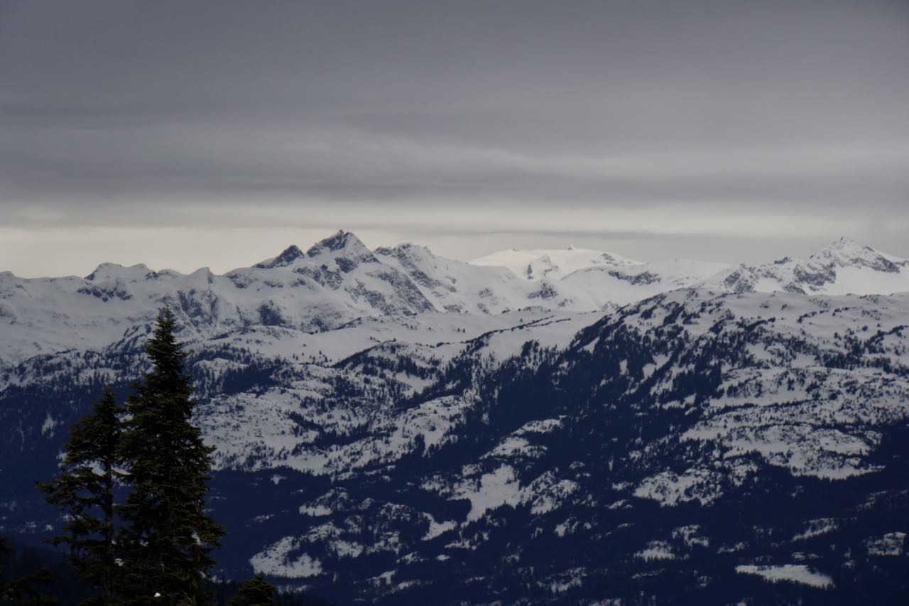
 Strong winds on the Horstman Glacier late Tuesday morning.
 Snow was being transported by winds up to 70 KPH yesterday morning.
ARTICLES:
Backcountry Snow Biker killed in Colorado Avalanche: Flat Tops Wilderness Area
Avalanches on Idaho highways close access to Stanley: Hwy 75 & 21
Why everyone should take an Avy 1 course: Powder
Heavy artillery, new technology key in preventing deadly avalanches: Utah
Avalanche Triggering (Tignes): Pistehors.com
What I learned from watching my best friend survive an avalanche: Teton Gravity Research

FORECAST:
A strong Pacific front is moving through the zone today with a warm, moist Southwest flow. The freezing level will hover in the 2000 meter range into this evening, and has the potential to spike to 2400 meters mid day. A cold front will move through tonight and the heavy precipitation should abate with the return to snow in the sub alpine and the FL dropping to 1400 meters by Thursday morning. The broad upper trough forecasted for Friday will, now arrive on Thursday with cooler showery weather into the weekend. A series of weak fronts will push through each day over the long weekend with the one arriving on Monday being the most active. The FL over this period will fluctuate from around 1000 meters to surface as the frontal bands push through on a daily basis.
Guesstimates: 15-20 cm( update 25-35) by Thursday morning-25-30 mm during the day, 15-20 cm by Friday morning, 2-4 cm by Saturday mornig, trace-2 cm by Sunday morning.


OBSERVATIONS & INFORMATION:


.


ARTICLES:
Backcountry Snow Biker killed in Colorado Avalanche: Flat Tops Wilderness Area
Avalanches on Idaho highways close access to Stanley: Hwy 75 & 21
Why everyone should take an Avy 1 course: Powder
Heavy artillery, new technology key in preventing deadly avalanches: Utah
Avalanche Triggering (Tignes): Pistehors.com
What I learned from watching my best friend survive an avalanche: Teton Gravity Research
No comments:
Post a Comment