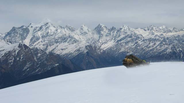
AVALANCHE ACTIVITY:
An avalanche in Pithoragarh, India has claimed 1 life, 2 missing-Story below. Net Pic
Fracture line in Cougar. Avalanche control produced Sz 1-2 soft slabs Xe Sc yesterday.
Top of West Cirque.
YESTERDAY:
07:15 Hrs Friday March 10, 2017 Keeners.
Snow showers in the morning.
There were some breaks throughout the day.
Visibility was tough at times.
Great snow even near the valley bottom.
Nice dry snow to the valley in the am.
Friday morning.
Mostly cloudy with some breaks during the day.
There were some nice turns to be had.
Weather Observations for March 11, 2017: taken at 06:00 Hours.
2240 meters -4, Winds were 30-45 KPH SE--Horstman Hut
2180 meters -3, Winds were 20-35 KPH S --Whistler Peak
1860 meters -2, Winds were 15-25 KPH SE--Rendevous
1835 meters -2, Winds were 15-25 KPH SE --Roundhouse
1650 meters -4, 0 cm of new snow, 1 cm in 24 hrs, 290 cm Base, RH 93% --Pig Alley
1550 meters -4, 0 cm of new snow, 1 cm in 24 hrs, 175 cm Base, RH 95 % --Catskinner
660 meters 0, Valley Temp, Max Temp Yesterday was +3.6, 14.0 mm of Precip recorded yest
As of 07:00 Hrs this am we have overcast skies variasble visibility and it is snowing lightly.
FORECAST:
A warm front will move into the area this am followed by a cold front later this afternoon, in a
moist Westerly flow aloft. The FL will likely hover in the 1400 meter level, but could spike as high as 1800 meters. Lets hope it stays at the lower elevation. We can expect light/moderate snowfall through out the day. A series of warm moist frontal bands will bring precipitation to the area into the later part of next week. The FL will certainly be much higher than it has been for most of the winter.
Guesstimates: 20-25 cm by Sunday morning, 8-12 cm by Monday morning, 5-10 cm by Tuesdasy morning.
Some moisture on its way.
Warm front follwed by a cold front for today.
Sunday is looking wet in the morning.
Drying out Sunday afternoon.
OBSERVATIONS & INFORMATION:
|
||||||||
|
||||||||
Thats a lot of folks hiking the chimmney.
Visibility was challenging in the West Cirque at times.
Showcase and Spanky's were closed yesterday.
Symphony Chair with an afternoon break.
ARTICLES:
Avalanche blocks Hwy 20: Washington State
1 Dead, 2 missing after avalanche hits Pithorngarh: India
Mt Baker warns skiers, riders of deep snow danger: Washington State
ENSO Diagnostoc discussion: March 9, 2017


No comments:
Post a Comment