AVALANCHE ACTIVITY:
An avalanche has killed two heli-skiers on Mt McCrae, near Revelstoke. Article below. Net PicRecent Remotely triggered slab below Fissile. MIN Report below. Kirill Kokorin Pic
No new avalanches observed on Blackcomb, Tuesday. Xc Cornice control on Bushrat.
WEATHER YESTERDAY:
Sunrise Tuesday was at 07:57 Hrs. -4 Deg C with a 15-25 KPH SE wind at 1860 m.Weather Observations for January 25, 2023 taken at 06:00 Hours.
2280 meters -1, Winds were 35-50 KPH NNE--Horstman Hut
2180 meters -2, Winds were 20-25 KPH NNW--Whistler Peak
1860 meters +2, Winds were 20-25 KPH NNE--Rendezvous
1835 meters +1, Winds were 0-10 KPH WNW--Round House
1650 meters -2, 0 cm in 12 Hrs, 0 cm in 24 Hrs. Base 190 cm--Pig Alley
1570 meters -1, trace in 12 Hrs, trace in 24 Hrs. Base 129 cm--Catskinner
660 meters -1, Valley Temp, Max temp Yesterday was +2.8, 0.3 mm of precip yesterday.
FORECAST:
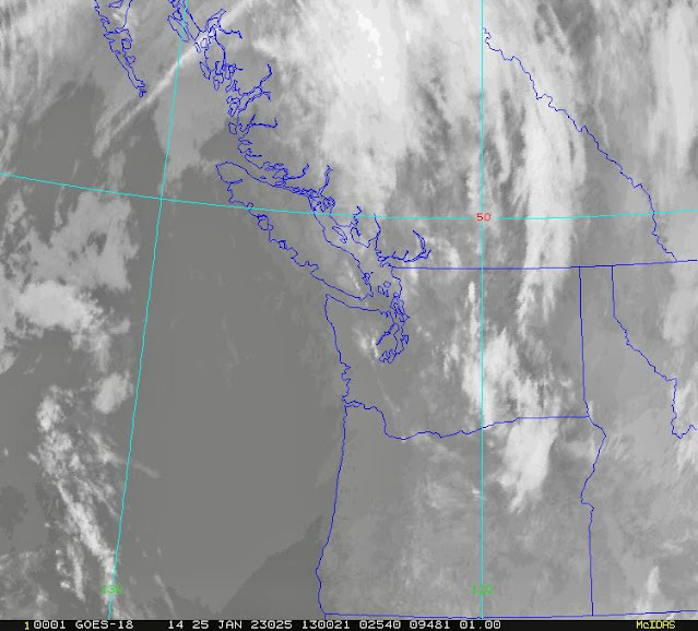
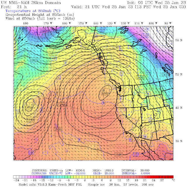
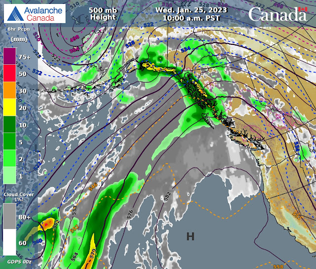
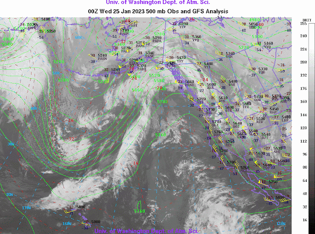
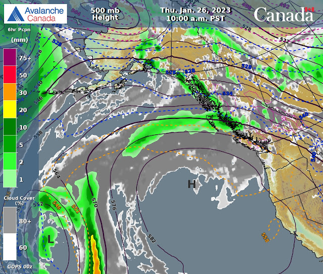
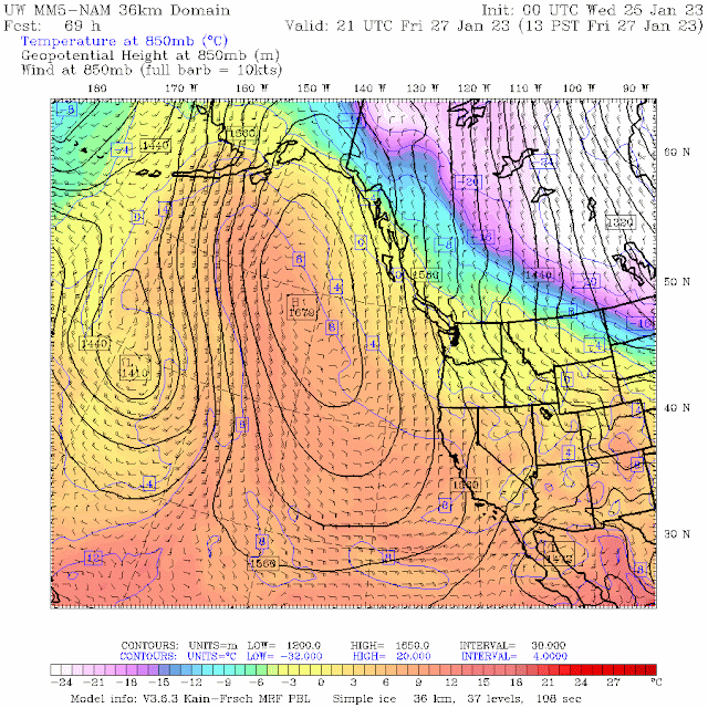
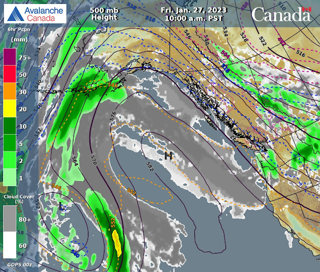
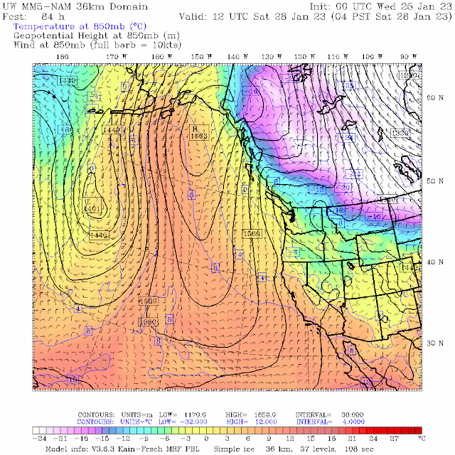
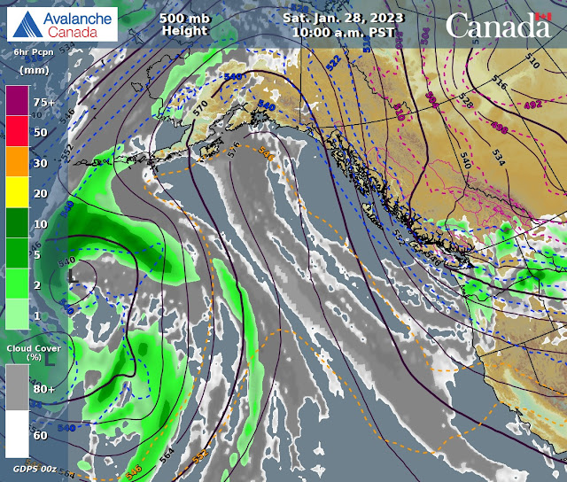
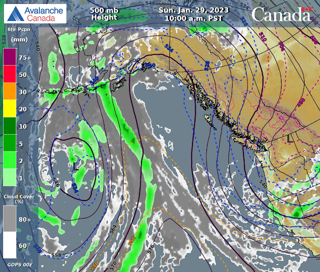
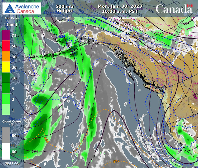
A dirty ridge will bring unsettled weather for today in a Northerly flow aloft. Mix of sun and cloud with warm air and inverted temperatures. The FL is presently hovering around surface and will rise as the day progresses. Could go up as high as 2500 m. Low will send cloud for Thursday with a weak upper trough arriving Thursday night into early Friday morning with some showers. Slowly dries out in the am with mostly cloudy skies, sun should come out later in the am. Unsettled for the pm with a mix of sun and cloud. Cold and sunny weather for Saturday. Colder and sunny on Sunday. Guesstimates: 0 cm by Thursday am, 2-4 cm by Friday am, 0 cm by Saturday am, no new snow expected into next week. Looking dry!!
INFORMATION & OBSERVATIONS:
FROM AVALANCHE CANADA:
Travel and Terrain Advice
Recent wind has varied in direction so watch for wind slabs on all aspects.
A moist or wet snow surface, pinwheeling and natural avalanches are all indicators of a weakening snowpack.
Cornices become weak with daytime heating or solar exposure.
CONSIDERABLE--Sea to Sky Advisory available, top right sidebar.
LOCAL MIN REPORTS:
Fissile Exit: Jan 24, 2023
Hurley Area Conditions: Jan 24, 2023
Birkenhead: Jan 23, 2023
SHORT CLIPS:
If you leave the ski area boundary: Avalanche Canada
Sending it off a: Cliff
High speed crash: Alaska
Urban Turns: Asphalt is hard
ARTICLES:
Two Heli-skiers have died in an avalanche near Revelstoke: Mount McCrae
An avalanche has killed a snowshoer in Val Orsera; Italy
Avalanche near Cherryville sends one to hospital: B.C.
Warming and Weakness in a Complex Snowpack: Avalanche Canada
Resist urge to 'tickle' the snowpack as slide risk increases, avalanche survivor says: Vancouver
Government of Canada funds Research in support of avalanche prevention: Quebec
If you enjoy the content and find it useful, please hit the donate button, top right on side bar.
Send me recent avalanche images. E-Mail top right of the side bar. Read Below:
Goggle contest returning again this year, win a pair of Marker goggles for the best avalanche image for the months of November-January, February-March, April-May. Grand prize best image of the season will be a Pair of Prior Skis or a Split Board awarded at the end of May.

.jpeg)
.jpeg)
.jpeg)
.jpeg)
.jpeg)
.jpeg)
.jpeg)
.jpeg)
.jpeg)
.jpeg)
.jpeg)
.jpeg)
.jpeg)
.jpeg)
.jpeg)
.jpeg)
.jpeg)
.jpeg)
.jpeg)

.jpeg)
.jpeg)
.jpeg)
.jpeg)
.jpeg)
.jpeg)
.jpeg)
.jpeg)
.jpeg)
.jpeg)
.jpeg)
.jpeg)
No comments:
Post a Comment