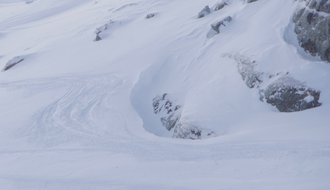
2 Feb 2018

February 2, 2018


    AVALANCHE ACTIVITY:

   An avalanche on Chitral mountain pass has killed a worker and his son, Story below.    Net Pic

    An avalanche has killed a person in Raghistan, Afghanistan. Story below.                      Net Pic

     Locally, AC produced some Sz 1-1.5 Xe. Some cornice drops(Xc) produced up tp Sz 2.


    YESTERDAY:

    Moist marine layer pushing into Howe Sound Thursday morning.

    Brandywine Falls.

    Callaghan Creek.

    Way to go ladies, lookin good!!!


    Sun was just above the cloud layer.

    You try right, I will try left.

        We have a lot of snow!!!

    Overcast for most of the day.

    Snow conditions improved as the day progressed.

    Thursday afternoon.

    Big picture on Thursday.


Weather Observations for February 2, 2018  taken at 06:00 Hours.

2180 meters     -3, Winds were 50-65 KPH SE--Whistler Peak
1835 meters     -1, Winds were 10-35 KPH SE--Roundhouse
1660 meters    +1, 2 cm of new, 3 cm in 24 hrs  Base 303 cm --Pig Alley
  660 meters      0, Valley Temp, Max Temp Yesterday was +1.9, 2.7  mm of precip recorded yest


FORECAST:

A wet mild pattern is developing for the next few days in a strong Westerly flow aloft. A warm front will push through today with the freezing level rising to 1800 meters. We an expect overcast skies with low and mid layer cloud, moderate/strong winds in the alpine, and light, with periods of moderate precipitation. Saturday will see less precipitation with the FL rising to 1600 meters.  Sunday is looking similar with the FL rising to 1700 meters. There is a chance we may get some  unsettled weather for Monday then back to the same warm moist pattern.
Guesstimates: 8-14 cm by Saturday morning, 4-6 cm by Sunday morning, 8-12 cm by Monday morning.

    As of 07:00 hrs this am we have obscured skies, limited visibility and it is snowing.

    GOES IR image from this am.

    The high to the south will bring in some warm temperatures.

    Today.

    Warming up today.

    Fronts on the coast.


    More of the same for Saturday.


    INFORMATION & OBSERVATIONS:

    Cornices continue to grow.


    Yest, Pig Alley received a trace of new from 06:00 to 14:00 hrs, Catskinner 2 cm. Base 240 cm.

    Rime development in the past 3 days.

    Always pay attention to the signs.

    Most avalanche paths in the Sea to Sky Corridor have debris in them form the last storm cycle.


Recent Avalanche Canada MIN Reports:

Blackcomb Backcountry-Chuting

Fitzsimmons Range

Marriot Basin


VIDEO FRIDAY:

Logan Peak Avalanche: Utah

Sanora Avalanche: Greg Weaver

Avalanche Control: Switzerland

Natural Avalanches in: Montana


ARTICLES:

Man & Son killed by an avalanche near Lowari Top, Chitral: Pakistan

One person killed in an avalanche in Raghistan District: Afghanistan

Alberta Man escapes avalanche disaster: Avalanche Canada

Danger rating reduced as snow pack stabilises: Europe

Heavy snowfall keeps WB Teams Busy: Pique

Second season for Avalanche Beacon Training at RMNP: Colorado

1 Feb 2018

February 1, 2018


    AVALANCHE ACTIVITY:

    Sz 3 S Turn basin from HeliBombing Wednesday morning.

    Impressive fracture line.

    Debris ran over the valley floor onto the other side.

    There is debris over the designated run at the Bottom of Blackcomb Glacier.


    YESTERDAY:

    Unsettled in the morning.

    Flurries in the morning. ji9

    Still some wind effect in the alpine, more snow please.

    Into Blackcomb Glacier.                                                                                         HGreg Dixon Pic

    Big pillows in Blackcomb Glacier Creek.

    Some convective activity but only a trace of new by 14:00 Hrs.


    Wednesday afternoon.

    Big picture Wednesday afternoon.


Weather Observations for February 1, 2018  taken at 06:00 Hours.

2180 meters     -8, Winds were 45-50 KPH S   --Whistler Peak
1835 meters     -7, Winds were 10-20 KPH SE--Roundhouse
1660 meters     -5, 8 cm of new, 9 cm in 24 hrs  Base 310 cm --Pig Alley
  660 meters     -1, Valley Temp, Max Temp Yesterday was +2.2, 2.7  mm of precip recorded yest

    As of 07:00 Hrs this am we have overcast skies and variable visibility.


FORECAST:

A series of upper level shortwave troughs will bring overcast weather with a rising freezing level in a Northwesterly flow aloft. The freezing level could reach 1200 meters today. Periods of light precipitation can be expected through the day. Ground hog day for Friday with the FL rising to 1600 meters. Saturday will see the same pattern with FL rising to 1600 meters, Sunday to as high as 1800 meters. By Monday the FL will begin a slow descent and could get back down to 1000 meters. This pattern will continue into the middle of next week. Models are inconsistent past that so standby.
Guesstimates: 4-8 cm by Friday morning, 5-10 cm by Saturday morning, 4-8 cm by Sunday morning, 4-6 cm by Monday morning.


    GOES IR image this am.


    The Low to the Northwest, the warm High to the South, Arctic front to the Northeast.


    Warm front heading our way.


    Freezing level may go as high as 1200 meters today.


    Fronts along the coast.


    Warm front for Friday.


    OBSERVATIONS & INFORMATION:

    Snowline in Squamish yesterday was at 600 meters.


                            Have only seen it run this far a few times in 38 years.

    Skiing was decent on alpine North facing slopes.


    Debris from S Basin.

    A different perspective.                                                                                            Greg Dixon Pic


Recent Avalanche Canada MIN Reports:

Marriot Basin Avalanche

Oboe Drainage


From Instagram:

Sorry for the grainy phonofoto shot, but a suckerhole helped to highlight these two natural size threes in the Fitzsimmons Range. Left side likely went 180127 and has been significantly reloaded; right side likely went 180128 near the end of the storm and shows a clearer crown, est from 2-2.5m deep. Right triple crown is about 350-400m across.

                                                                                                                            Mitch Sulkers Image


ARTICLES:

"Robust Infrastructure" installed for avalanche control on the Duffey Lake Road: Lillooet News

Professional Vs Recreational Avalanche Training--What's in for me?: Mountain Skills

What you Don't Know can Kill You: Montana

After earthquake in Afghanistan-Tajikistan-Avalanche warning in: Kashmir