AVALANCHE ACTIVITY:
Nearly 70 people have been killed in Afghanistan & Pakistan, story in article section. Net Pic
Locally, avalanche control produced Sz 1-1.5 soft slabs in the new snow, Xe, Sc, Sr(skier remote)
YESTERDAY:
There were some sucker holes around Wednesday morning.
For the most part it was a cloudy day.

Wednesday morning.
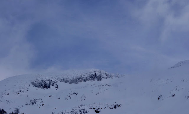
A glimpse at Whistler Mountain.
Visibility mid mountain was challenging at times.
Below the mid mountain cloud layer.
2240 meters -8, Winds were 40-60 KPH S --Horstman Hut
2180 meters -7, Winds were 30-50 KPH S --Whistler Peak
1860 meters -6, Winds were 30-50 KPH S --Rendevous
1835 meters -5, Winds were 10-20 KPH ESE--Roundhouse
1650 meters -4, 5 cm of new snow, 7 cm in 24 hrs, 254 cm Base, RH 94% --Pig Alley
1550 meters -4, 4 cm of new snow, 5 cm in 24 hrs, 181 cm Base, RH 89% --Catskinner
FORECAST:
A deep upper trough will bring moderate to heavy snowfall in a Westerly flow aloft today into this evening. The FL will likely spike at 1000 meters. The brunt of the storm will occur tonight. A cold front will arrive for Friday with light steady snowfall and a FL dropping below surface. A series of frontal bands will move through our zone as a cold deep upper trough slowly moves through by Sunday. Models are not in agreement past Monday but it looks like overcast skies and light snowfall will occur into the middle of next week. Guesstimates: 30-40 cm by Friday morning, 10-15 by Saturday morning, 1-3 cm by Sunday morning, 15-20 by Monday morning.
Frontal band in a Westerly flow for today.
Snow into Friday.
More snow Saturday.
More snow Sunday.
OBSERVATIONS & INFORMATION:
|
||||||||
|
||||||||
Rainbow Sub division.
Mid layer cloud yesterday afternoon.
How long has this crane been here??
ARTICLES:
Nearly 70 people killed by avalanches in Afghanistan and Pakistan: Roads Blocked
Understanding & Predicting Snow Behaviour: PhysOrg
Recent tree well death highlights mountain hazards: Washington State
Lessons learned one year after deadly Renshaw Avalanche: Rocky Mountain Goat
Another tree well death this season: Idaho


No comments:
Post a Comment