
AVALANCHE ACTIVITY:

YESTERDAY:


Weather Observations for May 12, 2018 taken at 06:00 Hours.
2240 meters +3, Winds were 40-60 KPH N--Horstman Hut
1860 meters +7, Winds were 35-40 KPH N--Rendevous
1550 meters +8, 0 cm of new snow, 0 cm in 24 hrs Base 176 cm --Catskinner
660 meters +3, Valley Temp, Max Temp Yesterday was +22.9, 0.0 mm of precip recorded yest
 As of 07:00 hrs this am we have thin high overcast and unlimited visibility.
FORECAST:
An upper ridge will bring sunny skies and warm temperatures to the area in a Northwest flow aloft. Some high clouds from the low to our North are coming over the high but should burn off as the day progresses. The FL will slowly rise to around 3800 metes by tonight. High will continue into the middle of next week, we may see a change by Wednesday, but the ridge may hold. Bring out the sun screen!!
 GOES IR image this am, some high cloud spilling in from the NE.
 High is blocking the lows. A bit warmer today.
 Another awesome day.
 High strengthens.
 Fronts along the coast.
 Another Sunny Sunday!!
 High gets bigger!
INFORMATION & OBSERVATIONS:
 Nice spring skiing on the Horstman Glacier.
 Great morning for race training.

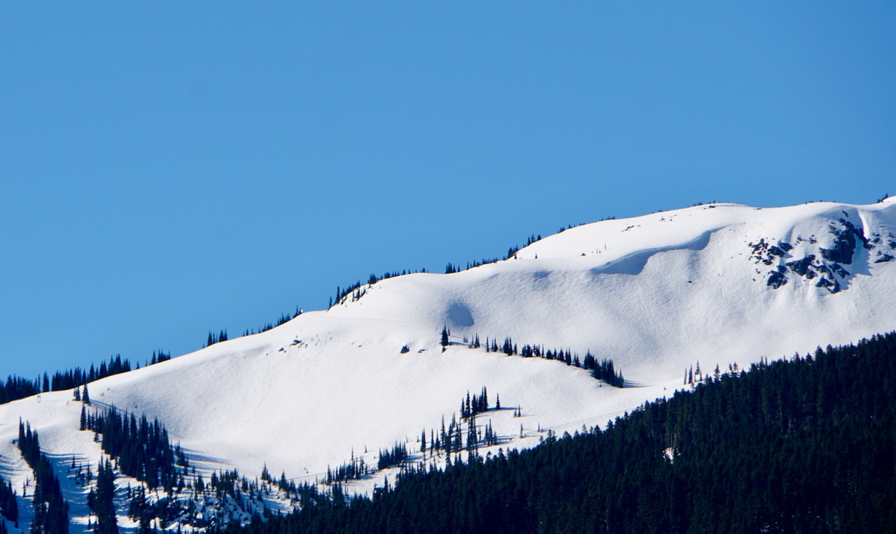
 Blackcomb Glacier Ski Area Boundary Friday.

 Snow in the alpine is melting quickly.
 Horstman Creek.
ARTICLES:
What in the world is Graupel: Mother Nature Network
Desert dust causes early snow melt and water loss: Colorado
WSDOT crews work to remove snow on Chinook Pass: Washington State

FORECAST:
An upper ridge will bring sunny skies and warm temperatures to the area in a Northwest flow aloft. Some high clouds from the low to our North are coming over the high but should burn off as the day progresses. The FL will slowly rise to around 3800 metes by tonight. High will continue into the middle of next week, we may see a change by Wednesday, but the ridge may hold. Bring out the sun screen!!


INFORMATION & OBSERVATIONS:


ARTICLES:
What in the world is Graupel: Mother Nature Network
Desert dust causes early snow melt and water loss: Colorado
WSDOT crews work to remove snow on Chinook Pass: Washington State
No comments:
Post a Comment