AVALANCHE ACTIVITY:
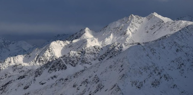
An avalanche has killed a skier in the Otztal, AUT. Article Below. Net Pic No new avalanches observed on Whistler.
WEATHER YESTERDAY:
Sunrise was at 07:43 Hrs. -2 Deg C with a 5-10 PKH West wind t 1860 m.Weather Observations for February 4, 2023 taken at 06:00 Hours.
2280 meters -5, Winds were 50-65 KPH S--Horstman Hut
2180 meters -5, Winds were 50-70 KPH SE--Whistler Peak
1860 meters -3, Winds were 20-40 KPH S--Rendezvous
1835 meters -3, Winds were 15-40 KPH SE--Round House
1650 meters -1, 16 cm in 12 Hrs, 17 cm in 24 Hrs. Base 198 cm--Pig Alley
1570 meters -3, 12 cm in 12 Hrs, 13 cm in 24 Hrs. Base 132 cm--Catskinner
660 meters +1, Valley Temp, Max temp Yesterday was +3, 5.1 mm of precip yesterday.
FORECAST:
A weak warm front will bring periods of light precipitation today in a Southwesterly flow aloft. The FL is sitting around 1000 m, may climb to 1400 m during the day and drop back down to 1000 m by tonight. May see a brief drying trend around noon. A weak cold front pushes through Sunday am, dries out in the pm with overcast skies. A pineapple express arrives for Monday with periods of light/moderate precipitation with slightly above average temperatures with strong winds. Front continues into Tuesday with periods of light precipitation. Unsettled Wednesday with a mix of sun, cloud and some flurries. A weak front arrives Thursday for more snow and cooler temperatures. Front spills into Friday. Guesstimates: 4-8 cm by Sunday am, 1-4 cm by Monday am, 20-30 cm by Tuesday am, 10-15 cm by Wednesday am, 0-2 cm by Thursday am, 20-25 cm by Friday am.
Periods of light/moderate precipitation Monday.
Light precipitation Tuesday.
Dries out Wednesday.
This system may come further South on Thursday with light precipitation.
INFORMATION & OBSERVATIONS:
Looking dark down to the South at opening.
FROM AVALANCHE CANADA:
Travel and Terrain Advice
Dial back your terrain choices if you are seeing more than 30 cm of new snow.
Storm slab size and sensitivity to triggering will likely increase through the day.
Storm snow and wind is forming touchy slabs. Use caution in lee areas in the alpine and treeline.
Minimize exposure during periods of heavy loading from new snow and wind.
HIGH--Sea to Sky Advisory available top right sidebar.
LOCAL MIN REPORTS:
Cayoosh, Lazy Boy: Jan 3, 2023
Motel 66: Feb 3, 2023
SHORT CLIPS:
Avalanche Mitigation: Hwy 37A
North Shore Avalanche Conditions: Feb 3, 2023
MSA BCR Report: Feb 3, 2023
Large Avalanche: Kashmir
Deep Snow: Horsepower
Steep And: Narrow
ARTICLES:
A man has died in an avalanche in the Otztal Valley: Austria
One dead and one injured by avalanche: Austria (google translate may be needed)
70 people trapped by masses of snow: Austria
The world's top ski resorts are melting away because of the climate crisis: Snow! What Snow??
Closure planned for Hwy 1 Saturday: Avalanche Control
Another avalanche hits Gulmarg's Afarwat Area: Kashmir
If you enjoy the content and find it useful, please hit the donate button, top right on side bar.
Send me recent avalanche images. E-Mail top right of the side bar. Read Below:
Goggle contest returning again this year, win a pair of Marker goggles for the best avalanche image for the months of November-January, February-March,April-May. Grand prize best image of the season will be a Pair of Prior Skis or a Split Board awarded at the end of May.


.jpeg)


.jpeg)
.jpeg)

.jpeg)


.jpeg)
.jpeg)


.jpeg)
.jpeg)
.jpeg)

.jpeg)
No comments:
Post a Comment