8 Aug 2016

August 8, 2016


    August 1, 2016--Calm and a few scattered clouds in the am.

    Quiet Monday morning prior to the crowds arriving.

    Cloudy early Tuesday morning August 2, 2016. Rumbling Glacier.

    Satellite image Tuesday morning.


    August 2, 2016 17:00 Hrs. 0.9 mm of rain recorded at 660 meters.

    August 3, 2016 Obscured at 06:30 Hours on Wednesday.

    07:15 Wednesday morning.

    Cloudy in Squamish as well.


    Stratus layer lifted, image taken at 17:00 Hrs Wednesday.

    Image from Wednesday afternoon.

    Thursday August 4, 2016-Stratus layer in the morning again, lifted by 10:00 Hrs.

    Image from same time frame as above photo.

    Clouds dissipated on Thursday for a nice afternoon.

    High of 24.6 deg on Thursday.

    Friday August 5, 2016. Broken cloud and a nice day. High of 22.8 Deg.

    Friday afternoon.

    Saturday Morning.

    Some cloud from the upper low making its way into the zone, Saturday morning.

    Sunday August 7, 2016, the slow moving upper low is giving us some nasty looking cloud in am.

    Sunday morning, upper low is slowly moving South.

    High clouds moved into the area by noon Sunday. Thunder in the distance by 18:00 Hrs.


Weather Observations for August 8, 2016: taken at 07:00 Hours.

2240 meters     +4, Winds were 10-15 KPH SE    --Horstman Hut
1860 meters     +5, Winds were   5-10 KPH SSW --Rendevous
1550 meters     +6, RH 97%                                  --Catskinner
  660 meters   +11, Valley Temp, Max Temp Yesterday was +18.9. 8.5 mm of Precip recorded yest

   As of 07:00 Hrs this am we have obscured skies and limited visibility.

    Satellite image as of 07:15 Hrs this am.

For the forecast, the summer of upper level lows continues--a very slow moving low is passing through our zone today bringing cloudy skies in a Northerly flow aloft. The brunt of the precipitation in this system occurred last night but there is a chance of some scattered showers into Tuesday. The high pressure out in the Pacific will begin to show its influence on Wednesday with some lingering cloud but dry conditions and warming temperatures. The high will build into Saturday with another period of summer like weather. Another trough is forecasted to move into the area by Sunday.


    Slow moving low will bring cloudy skies for today.

     Low tracks Southeast into Tuesday.

    Low should be well South by Tuesday but still spinning cloud our way.

    High pushes back for Wednesday but expect some cloud development.

    High strengthens for Thursday into Saturday. Warmer temperatures can be expected.

    An upper trough is forecasted to be here by Saturday evening/ Sunday.


ARTICLES:

Vail Resorts take over bid for Whistler Blackcomb: Global News

Vail Resorts ups the share holder price: Globe & Mail

Storm Slab Avalanche Risk Warning: New Zealand

New Uphilling Possible in Colorado: Backcountry Skiing Blog

Survived an avalanche: Bear Grylls Extreme Survival

Another Skiing App: ISKI


    Monday morning paddle. BC Day.

    Skateboard Park early Monday morning.

    Some breaks in the cloud over Squamish on Tuesday.

    Chief just below the ceiling. Tuesday.

    Different perspective of Shannon Falls.Wednesday.

   Sunset Thursday evening was at 20:50 Hrs. Starting to loose 3 minutes of day light per day.

    Friday was a great day weather wise.

    View from the road up to Mt Baker Ski Area. Saturday

    Mount Baker Saturday afternoon.

    Started raining at around 18:30 Hrs into the night on Sunday. 8.5 mm recorded by 24:00 Hrs

1 Aug 2016

August 1, 2016


    Recent avalanche in New Zealand on a PWL, Sz 3 deposit onto Lake Alta, July 25, 2016.   Net Pic

    Sunset, Howe Sound Monday July 25, 2016.


   Tuesday July 26, 2016--Scattered cloud +11 deg

    Satellite image from same time frame, 07:45 Hrs.

    There was some cloud development in the afternoon on Tuesday.

    Wednesday July 27, 2016, +11 in the alpine at 07:00 Hrs.

    Awesome day Wednesday with some scattered cloud.

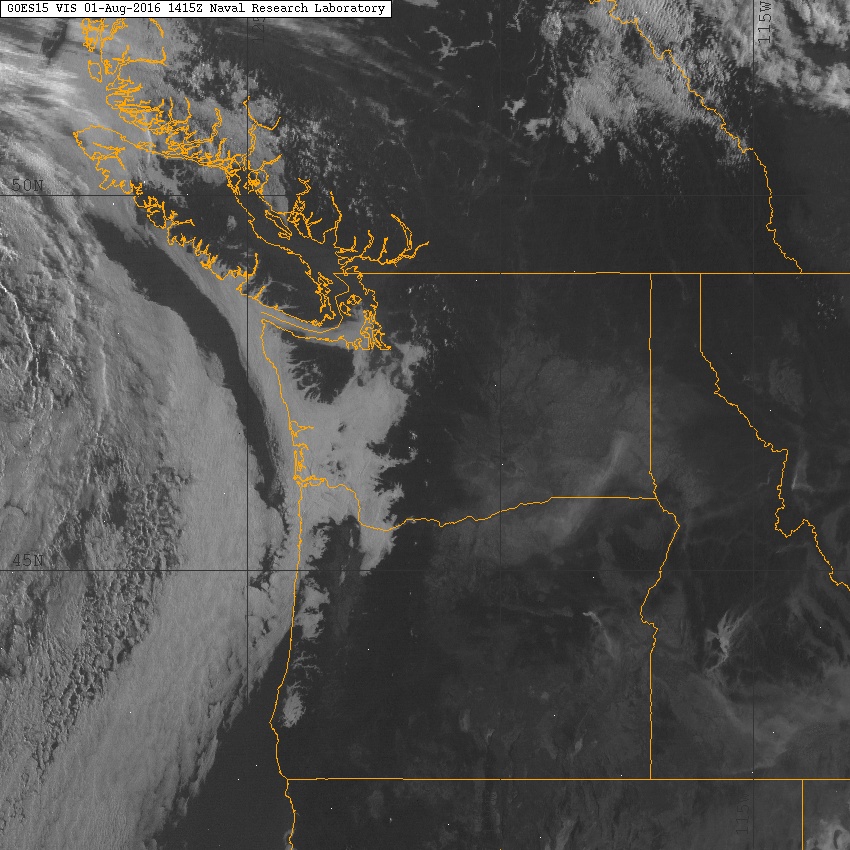
    Thursday July 28, 2016

    Another awesome day, stratus cloud along the coast.

    Friday July 29, 2016--Clear skies and +13 at 07:45 Hours.

    Friday 07:45 Hours, looking like another summer day. High at 660 meters on Thurs was +32 Deg.

    Clear skies Friday morning. High of 30.9 Deg at 660 meters.

    Saturday July 30, 2016, 07:00 Hrs--Upper level low to the NE begins to push clouds into our zone.

    Satellite image from same time frame.

    Sunday July 31, 2016--07:45 Hrs. Has cooled off--+7 Deg.

    Image from same time frame.

    Some cloud development during the day but a great way to finish July.


    Just after sunset Sunday evening.

Weather Observations for August 1, 2016: taken at 07:00 Hours.

2240 meters   +10, Winds were 0-5 KPH  SE--Horstman Hut
1860 meters     +7, Winds were  calm            --Rendevous
1550 meters     +7, RH 88%                           --Catskinner
  660 meters     +9, Valley Temp, Max Temp Yesterday was +22.1. 0.0 mm of Precip recorded yest


Some facts for July, it only rained 23.8 mm and the Max Avg Temp was only 21.7 Deg, observations taken at the Nester's weather station.

   As of 07:15 hours we have clear skies and unlimited visibility.


    07:15 hours this am, low is moving down the coast very slowly.

For the forecast, a weak ridge will bring another nice day before an upper level low moves over our zone for Tuesday with some showers in the forecast. The upper level flow will be Westerly for most of the day switching to Southerly by tonight. The low will shift by early Wednesday with some lingering clouds likely for the better part of the day. A long wave trough will follow on Thursday with dry seasonable conditions, which should bring nice summer weather into the weekend.
Another low is expected to come out of the Gulf of Alaska sometime Saturday, the high out in the Pacific is pretty big, hopefully it will remain nice into the weekend.

    Low is moving down the coast.

     Low will remain off the Coast for today then moving onshore sometime Tuesday.

    High pressure in the Pacific is huge.

    Will see isolated or scattered showers Tuesday, mostly in the afternoon, chance of a thunder storm.

    Some lingering cloud on Wednesday but looks dry.

     Long wave trough will bring dry weather to the area for Thursday.

    Low out of the NE expected for Saturday August 6 Th.

    Sunday of next weekend is a way's off, but not looking that great!!

    Flow of the lows for this week.


ARTICLES:

Skier triggers Size 2 avalanche near Treble Cone: New Zealand

Avalanche raises Lake level: New Zealand

Avalanche Canada is Hiring: Job Opportunities

Search suspended for Seattle climber near Alexis Creek: Global News

A recent pause in Antarctic Peninsula warming: Science Daily

International Snow Science Workshop-October 3-7, 2016: Breckenridge, CO


    Cruise ship touring Howe Sound on Monday evening. July 25, 2016.


    Cumulus cloud development on Tuesday, July 26, 2016.

    Cloud development on the North Shore Mountains Wednesday.

    Whistler Secondary School Thursday.

   Bottom of the Bike Park, Friday morning.

    Coming in for a landing. Meadow Park Friday.

    Sunset Saturday was at 20:58, we are losing 2 minutes of daylight per day.

    Looking up Fitzsimmons Valley on Sunday.