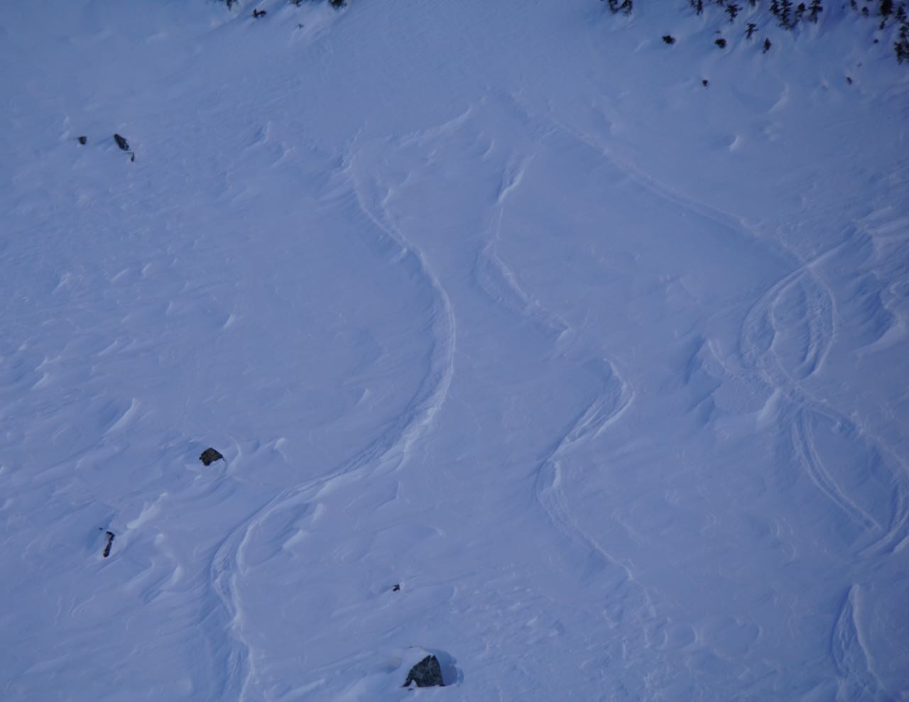
6 Dec 2016

December 6, 2016


AVALANCHE ACTIVITY:

    An avalanche buried two weather technicians in Sochi, story in article section.                   Net Pic

No new avalanche activity reported locally. Temperature gradient is prime for facet development. There are areas where the 16-11-12 Mfcr is 30-60 cm below the snowpack, faceting will be occurring on the crust. Something to be wary of. Cold temperatures until Wednesday, with the possibility of alpine temps remaining cold into the weekend.


    YESTERDAY:

    Cloudy in the morning, Monday December 5, 2016. Very light snow briefly.

    Sun tried to make an appearance mid morning.

    It did lighten up for a while.

    Cloudy in the morning.

    Image taken from same time frame as satellite image below.

    Low won out with cloudy conditions in the afternoon.

    16:00 Hrs Monday and snowing very lightly..


Weather Observations for December 6, 2016,: taken at 06:00 Hours.

2240 meters  -17, Winds were 15-25 KPH NE  --Horstman Hut Station
2180 meters  -19, Winds were 10-20 KPH NE  --Whistler Peak
1860 meters  -16, Winds were 10-20 KPH NE  --Rendevous
1835 meters  -16, Winds were   5-15 KPH E    --Roundhouse
1650 meters  -14, trace of new snow, 1 cm in 24 hrs, 156 cm Base, RH 92%  --Pig Alley
1550 meters  -13, trace of new snow, 1 cm in 24 hrs, 106 cm Base                  --Catskinner 
  660 meters    -9, Valley Temp, Max Temp Yesterday was -2.8. 0.0 mm of Precip recorded yest

FORECAST:

The high lost yesterday, but has strengthened today with a strong East-Northeast flow. Arctic out break will bring sunny skies to the area . Wednesday will see some cloud move into the area in the afternoon with the next weak frontal band arriving on Thursday. Models are not in agreement on snow amounts as a low pressure off the coast develops and brings several frontal bands in a Westerly flow into the area over the weekend. There will still be some influence from the arctic high to the Northeast. Lets hope the frontal bands do not migrate South. Still early but more on that as we get closer. Dress warm today if you are venturing out. -17 in the alpine with a 25 KPH wind equates to a wind chill factor of -28. Conservative Guesstimates: 5-15 cm by Friday morning, 5-20 by Saturday morning-depends on which model is the most accurate. There is still a chance that everything could line up perfectly and we could get 40+ cm!!!

    Tuesday Morning

    Ridge appears to strengthen as the day progresses.

    Wednesday afternoon into early Thursday morning.

    Battle of the high and low.


ARTICLES:

An Avalanche in Sochi has buried two avalanche workers: Russia

Considerable Avalanche danger in Northwest Montana: Flathead Avalanche Centre

Avalanche Awareness Classes Scheduled for Dec 15 & Jan 10 in Bozeman: Montana

Fractured Lines: Kevin Davis


    Gloomy early in the morning.

    Interesting light when it lightened up.

    7 TH Heaven Lift.

5 Dec 2016

December 5, 2016


    AVALANCE ACTIVITY:

    Ma (Snowmobile-Machine accidental) Sz 2 --Rainbow Bowl -- December 4, 2016. Andrew Image

Some sluffing with ski cuts yesterday and a few point releases on solar aspects on very steep terrain, but not much to report. Ma Sz 2 Rainbow Bowl an eye opener for sledders. Still reactive with the right trigger.


YESTERDAY'S CONDITIONS:

    Power Flurry early Sunday December 4, 2016.

    10 Minutes after the power flurry. Powder Mountain looking very White.

    Spindrift Sunday morning.

    Rimed Cables!!

    Sunday eventually became Bluebird!!

    Awesome to see the snow guns a blazing.

    Sunday later in the day, that will improve the ski out!!!


Weather Observations for December 5, 2016,: taken at 06:00 Hours.

2240 meters  -15, Winds were   5-10 KPH ESE  --Horstman Hut Station
2180 meters  -13, Winds were 20-25 KPH ESE --Whistler Peak
1860 meters  -13, Winds were   1-5   KPH SE    --Rendevous
1835 meters  -11, Winds were 10-20 KPH SE   --Roundhouse
1650 meters  -11, 0 cm of new snow, 2 cm in 24 hrs, 159 cm Base, RH 92%  --Pig Alley
1550 meters  -11, 0 cm of new snow, 1 cm in 24 hrs, 108 cm Base                  --Catskinner 
  660 meters    -7, Valley Temp, Max Temp Yesterday was +3.6. 1.4 mm of Precip recorded yest

    As of 07:00 Hrs this am we have broken cloud and unlimited visibility.


FORECAST:

Ridging will continue to bring cold unsettled conditions for today in a Northerly flow aloft with a SE surface flow. A surface trough off the coast and too our South may send some cloud into the area this morning, but it should dissipate by the afternoon. It was snowing in Vancouver this am. Tuesday will be mostly sunny with the coldest temperatures of the week. Slightly warmer on Wednesday with some convective clouds in the afternoon. The next frontal band should move on shore for Thursday with more pow on the way!! We could get 30-50 cm by Friday morning but more on that as we get closer. Guesstimates: Trace possible today, will depend on how close the surface trough can push our way.


    Northerly flow with some moisture close by, SW flow over Vancouver.

    Moist over Vancouver but clear over Whistler as of 06:00 Hrs.

    Were on the good side in this model. Snowing in Vancouver this am.

    Later in the day it still looks clear..

    Tuesday is looking mostly sunny, could be a cold one!!


ARTICLES:

Headed to the Mountains? Be prepared for avalanches: Campbell River Mirror

Year Round snow slope for Tignes: France

North Shore rescue reminds tourists of avalanche danger: North Vancouver

Ski with a Snowboard Boot: MadJacks


OBSERVATIONS:


Riddim Fernandez 
Dec 4, 2016

Current Swell area and Carona were quite firm today. Lower Carona was quite wind affected down to the glacier road.


    Size 3 Na (Natural Avalanche) crown line from the last storm still visible on Blackcomb Peak.

    Conditions were excellent on Sunday.

    Chalky in Blackcomb Bowl.

    Some cloud around in the afternoon.

    Gun Slinger.

4 Dec 2016

December 4, 2016


    AVALANCHE ACTIVITY:

    Bushrat Shoulder--Stiff Slab Saturday Morning.

    Blackcomb Bowl Saturday morning.


    Debris in Blackcomb Bowl.

   Some isolated stiff slabs up to Sz 1.5 reported Saturday with a Sz 2 Sa cornice release.


    YESTERDAYS CONDITIONS:

    Breaks in the cloud Saturday morning, December 3, 2016.


    Nice breaks in the morning.

    Dropping into False Face.

    Companion rescue training Saturday morning.

    Saturday at 11:30.

    Near noon on Saturday.


WEATHER:

Weather Observations for December 4, 2016,: taken at 06:00 Hours.

2240 meters  -12, Winds were   5-20 KPH SW   --Horstman Hut Station
2180 meters  -10, Winds were 15-25 KPH SSW --Whistler Peak
1860 meters  -10, Winds were  5-10 KPH SW    --Rendevous
1835 meters    -9, Winds were 10-20 KPH SW   --Roundhouse
1650 meters    -8, 3 cm of new snow, 3 cm in 24 hrs, 162 cm Base, RH 92%  --Pig Alley
1550 meters    -8, 2 cm of new snow, 2 cm in 24 hrs, 111 cm Base                  --Catskinner 
  660 meters    -1, Valley Temp, Max Temp Yesterday was +3.6. 1.3 mm of Precip recorded yest

   As of 07:00 Hrs this am we have scattered cloud and unlimited visibility.


For the forecast:

Unsettled this morning in a Westerly flow with the FL in the valley. Possible to see some scattered flurries overnight into Monday, but we will get our share of sunshine eventually. Should see the flow switch to Northwesterly this afternoon. A mix of sun and cloud up to Wednesday with periods of sunshine, with progressively colder temperatures into Tuesday. A weak Arctic outbreak by Monday will usher in the coldest temperatures so far this season, get out the down!! The next deep Pacific Low will bring moderate/heavy snow to the area on Thursday into Friday. Guesstimates: Trace-1 cm by Monday morning.

    Unsettled Sunday with the possibility of some scattered flurries.

    On the edge Monday, high and low very close to the Whistler Zone.


ARTICLES:

10 Commandments of Avalanche Safety: Bruce Temper

Survey on Ski-Tourers habits: Backcountry Skiing Canada

A Huge shift in uphill Access for North American Resorts: SnowBrains


OBSERVATIONS:

From Jeff Van Driel:

Hi Wango,
Skied in the musical bumps today hoping to hide from wind effect with limited success. The recent strong southerly winds pushed well down into treeline creating variable conditions. We found everything from soft to hard slab 30-60cm deep, exposed areas scoured to crust that were surface facetting, pockets of powder in very sheltered areas, and somewhat unpredictable skiing. We avoided any large, steep wind effected slopes. Clearly the lower into treeline we skied and the more sheltered it got, the less the wind effect, but the snowpack starts to dwindle quickly at lower elevations. We chose to exit via Whistler resort rather than singing pass trail. 
No new avalanches observed but we were in simple terrain and had limited obs. 
Skies were broken in am and overcast with light snow in pm. Temps were -5 with moderate southerly winds. 
Cheers

Jeff


    Finding the goods.                                                                                           Jeff Van Driel Image

From Lee Lau on the Duffy Dec 2, 2016--Chief Pascall:

195cms HS at 1850m and -3 deg. Right side up snowpack. 5-10cms of fist (probably some wind transport as it hadn't snowed that much. Top 5-10 was reactive with CTE and CTM results on a N facing 32deg slope resistant planar. Nil reactions below with pronounced MF layer 65cms down.

Ski quality acceptable with supportive stout crust at approx 1550m elevation but not enough to trip you up


Winds light to moderate gusts from SW. Snowing lightly. 


    SATURDAY:

    Scoured above and at the treeline, exposed tracks from a few days ago.

    Winds were high in the Alpine, 50-80 KPH all day. Maximum gusts 100 KPH Friday night.

    Saturday morning.

    There were pockets of nice snow, unbreakable wind slab, and breakable wind slab in the alpine.

    More cloud moved in for the afternoon.