20 Aug 2018

August 20, 2018


   AVALANCHE ACTIVITY:

    Hikers discover 19 elk killed in an avalanche in Oregon, story below.                     ODFW Image


    PAST WEEK:

    Tuesday morning August 14, 2018. Still smoke in the air. Air Quality of 8 Northerly Flow aloft.

    Wednesday morning August 15, 2018. Nicer looking air at 1835 meters. High of 7 for air quality.

    Thursday morning August 16, 2018. +12.5 Deg C at 07:00 Hrs. Air Quality was 4 at 07:00 Hrs.

    Friday morning August 17, 2018. +11 at 06:30 hrs. Air quality at 2 > to 4 later today.

    Saturday morning,  smoke has moved back in. Air quality started at 2 > to +10.

    Sunday morning, August 19, 2018. Air quality at 10+.


Weather Observations for August 20, 2018  taken at 06:00 Hours.

2240 meters        +7, Winds were 40-80 KPH N--Horstman Hut
1860 meters      +10, Winds were 40-55 KPH N--Rendevous
1650 meters      +11, 0.0 mm in 12 hours --Pig Alley
  660 meters        +8, Valley Temp, Max Temp Yesterday was +26.3, 0.0 mm of precip recorded yest

    As of 07:00 Hrs this am we have obscured skies and limited visibility. +10 Deg C.


FORECAST:

The persistent upper ridge will bring dry warm weather into Wednesday in a Northeast flow aloft. The freezing level will hover in the 4500 meter range until Thursday when it begins to slowly drop down to 2700 meters by Saturday. Cooler temperatures and cloudy weather will hopefully bring some rain to the area for Saturday into Sunday as an upper trough begins to push onshore Thursday, initially being dry but deepening by the weekend with some potential precipitation. Models are inconsistent this early in the game but looks like some rain for Saturday and possibly Sunday. The onshore flow should help to push smoke out of the area by Thursday, fingers crossed. Dry and cooler early next week.


    GOES IR image for this am.


    High still there with warm temperatures and Northerly flow aloft.

    Very smokey. Air Quality at 10+

    Fronts along the coast.

     High begins to drift West. Still warm. Easterly Flow.

    May see the air quality index go to 9 for Tuesday.

    High moves Northeast, still a Northeasterly flow.

    Cold front to the North.

     Northwesterly flow at 1600 meters.

    Should see clouds by Thursday with an onshore flow.

    May see some precipitation on Friday.

    INFORMATION & OBSERVATIONS:

    Monday evening, Blackcomb just visible.

    Tuesday morning, a bit better visibility.


    Wednesday morning. An improvement, air quality went to 2.

   A smokey Pacific Northwest.                                                                NASA Modis Satellite image.

    Thursday morning. Weak Southwesterly flow aloft not really helping!!

    Thursday afternoon, 15-35 KPH winds from the West.

    Friday morning, Anderson Lake fire still burning, Evacuation Alert

    Saturday morning.


    Unfortunate fall for Brett Rheeder on first run, came in second after Nicholi Rogatkin. Joyride.

    Saturday evening.

    That was a a lot of smoke on Saturday.

    Sunday was a good day to stay indoors.


    Generated image of smoke in the area for Sunday/Monday.

    Improved visibility at the upper elevations this morning.

    Image from Monday morning Aug 20, 2018.


VIDEOS:

South Lines, Mouse Hole: Las Cuevas, Argentina

Red Bull JoyRide Highlights: Crankworx


ARTICLES:

Avalanche damaged New Zealand lift down for the season: Mt Ruapehu

Elk killed in an avalanche discovered by hikers: Oregon

NASA to Study Snow: SnowEx

El Nino Diagnostic Discussion: August 9, 2018

Fine tuned & Dialed in: Off Season Prep

Driest and warmest period in the Swiss Alps since 1864: WePowder

Smoke from hundreds of wildfires darkens skies over B.C.: Nearly 600 Fires

13 Aug 2018

August 13, 2018


    AVALANCHE ACTIVITY:

    Skier triggered avalanches on Mt Hotham, Austalia.                                     Mark Tsukasav Image

    An avalanche has killed 2 alpinist on Lenin Peak, Kyrgyzstan. Article below.                     Net Pic

    An avalanche on the Mizhingi Glacier has killed 4 soldiers in the Caucasus Mtns.             Net Pic


    PAST WEEK:

    Tuesday morning August 7, 2018.  Sunrise was at 05:49 hrs. We are losing 3 min of daylight/day.

   Wednesday morning August 8, 2018. 06:00 hrs +16 deg C at 1835 meters.

    Thursday morning August 9, 2018.

    Friday morning 05:30 hrs. August 10, 2018.

    Saturday morning August 11, 2018 06:15 hrs.

    Sunday morning August 12, 2018. At 07:00 hrs it was +7 Deg C.


Weather Observations for August 13, 2018  taken at 06:00 Hours.

2240 meters        +9, Winds were 5-10 KPH N    --Horstman Hut
1860 meters      +10, Winds were 5-10 KPH NNE--Rendevous
1650 meters        +8, 0.0 mm in 12 hours --Pig Alley
  660 meters        +9, Valley Temp, Max Temp Yesterday was +19.7, 0.2 mm of precip recorded yest

    As of 07:00 hrs this am we have obscured skies and limited visibility. Air Quality Advisory for Whistler


FORECAST:

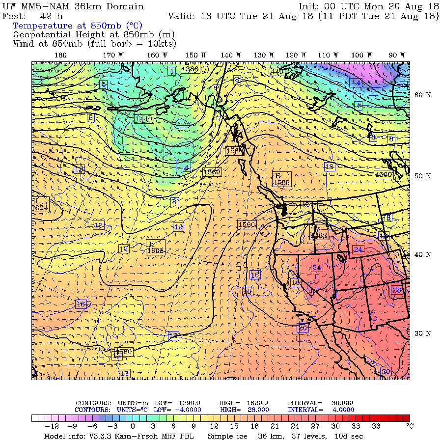
High pressure begins to build in the area today with a Northerly flow aloft. The freezing level will hover in the 4000-4500 meter range for most of the week. With the Northerly flow comes smoke which will likely hinder temperatures from maximum values. Dry warm weather is expected until Wednesday when a Southwesterly flow is forecasted to bring slightly cooler temperatures and hopefully blow some of the smoke away. A weak upper trough is forecasted for Thursday into Friday with the high rebuilding for the weekend. There are some discrepancies in some of the models!


    GOES IR image for this am.


    High pressure for today, but smoke aloft has lowered into the valleys.

    Unfortunately we may not see the sun today.

    Fronts along the coast.

    High pressure with warm temperatures except the smoke will alter this forecast.

    Looks good but smoke likely to hang around into Wednesday.

    Flow will hopefully switch to Southwesterly sometime Wednesday.

    May see some cloud on Wednesday.

  Weak upper low may move in for Thursday. There are some differences in the various models.


    High rebuilds for the weekend.


    INFORMATION & OBSERVATIONS:

    Great looking day Monday morning August 6, 2018.

   Nice looking sky on Tuesday.

    Work ramps up on the top of the new six pack on Wednesday.

    Smoke coming up from the South. California Fires?

    Smoke Plumes over Northern California. Earth Observatory

    Nice light Friday evening 20:00 Hrs.

    Saturday morning, at 06:45 Hrs it was +8 at 2240 meters and +17 at 660 meters.

    Lightning sparks 41 new fires on Sat in the Kamloops District Wildfires BCCurrent Statistics

          Cache Creek Saturday at 16:55 hrs on Saturday August 11, 2018.           Cody Flann Pic

Some rainfall amounts that occured on Saturday from Environment Canada weather stations:

Whistler           0.9 mm
Squamish         1.1 mm
Pemberton       7.5 mm
Cache Creek  15.2 mm
Vancouver       6.2 mm
West Van         3.2 mm

    Just above Northern Washington State. Saturday 19:00 Hrs.

    Crankworks Sunday afternoon.

    Big picture Sunday afternoon. Looking smokey. Air quality statement released for: Whistler

    Image from this morning Sunday August 13, 2018. Smokey!!!

VIDEOS:

Snowboarding into an avalanche: Chile

Fast moving mud slide: Switzerland

Spicy lines in New Zealand: Treble Cone


ARTICLES:

Avalanche kills 2 alpinist on Lenin Peak: Kyrgyzstan

An avalanche has killed 4 soldiers near Pushkin Peak: Russia

Avalanche warning issued in the Victorian Alps: Australia

Multiple reports of skier triggered avalanches inbounds: Australia

Pacific Ocean's effect on Arctic Warming: Science Daily

Australis's first backcountry festival: Falls Creek

Heidi, The new avalanche rescue dog: Sunshine Village