Avalanches in Southern Italy have claimed 4 mountaineers, story below. Andreas Kemenater Pic
Weather has hampered rescue efforts. Andreas Kemenater Pic
Weather for the past few days:
Tantalus Range Monday morning. 7.9 mm recorded at 660 meters on Monday in Whistler.
Tuesday October 25, 2016--08:00 Hrs-Snowing lightly -1 Deg.
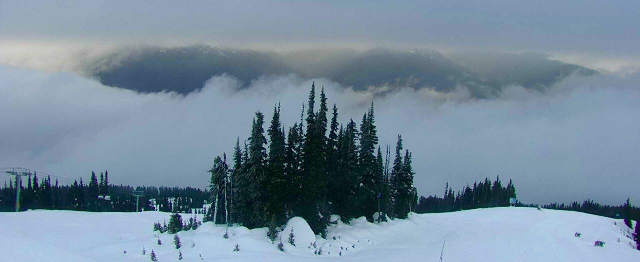
Tuesday morning.
Image from Tuesday, big low off the coast.
Light rain showers on Tuesday, 2.7 mm recorded at 660 M.
Wednesday October 26, 2016--08:00 Hrs, -1 at 1835 meters.
Wednesday morning.
Tantalus Range Wednesday morning.
Thursday morning October 27, 2016---0 Deg at 10:00 Hrs.
Satellite image from same time frame as above photo.
Howe Sound Thursday afternoon. 23.6 mm recorded at the airport in Squamish Thursday.
Weather Observations for October 28, 2016: taken at 07:00 Hours.
2240 meters -2, Winds were 15-25 KPH SE --Horstman Hut
1835 meters 0, Winds were 10-20 KPH ESE --Roundhouse
1650 meters +1, RH 100% 5.1 mm of precip --Pig Alley Precip from 12 yest aft-this am
660 meters +6, Valley Temp, Max Temp Yesterday was +9.2 4.5 mm of Precip recorded yest
As of 08:00 Hrs this am we have overcast skies and variable visibility.
For the forecast, a weak upper level ridge will slowly bring drier unsettled conditions to the area with a low level Easterly flow for later this morning. An offshore upper level low will bring unsettled conditions again Saturday with increasing cloud by Saturday afternoon and possible showers by the evening. The Freezing level will range from 2000 m on Friday afternoon to as low as 1000 m by Monday night. We can expect a split flow Sunday into early next week with unsettled weather and cooler temperatures. (Drier with mostly cloudy skies Sunday) Monday at this time is looking wet with snow descending to the valley by the evening. (Typical Halloween night in Whistler) A frontal band is likely to send moderate snow to the area by Tuesday evening with a FL fluctuating in the 1700 meter range. Wednesday looks wet with a plume of moisture heading our way. More on that in Mondays post.
Early Friday morning, a trough of low pressure in a Southerly Flow aloft.
Low off the coast moving in a Northerly direction, high to the East pushing in by this afternoon.
Some moisture in the area this morning.
Breaks Saturday morning with showers in the afternoon.
Another band of precip Saturday evening into early Sunday morning, breaks Sunday morning.
Some short lived breaks Sunday morning.
Weak front Monday into Tuesday.
Tuesday evening should bring moderate snowfall into the area above 1500 meters.
A bit of an atmospheric river for Wednesday. FL hovering in the 1600 M zone.
VIDEO FRIDAY:
Has skiing been pushed too far:
La Liste Trailer
Skiing America's National Parks:
Trailer
Speed Riding in an ice tunnel:
The Blue Room
ARTICLES:
An avalanche in Southern Italy has claimed 4 climbers:
3 Dead one still missing
Avalanche destroys power line and cuts off access to Arctic Village:
Amguema, Russia
WB terrain off limits:
The Question
WB announces changes to the Backcountry Advisory:
Mountain FM
Mammut partners with Jackson Hole Resort:
Wyoming
Ski Resorts struggling to make snow with warm temperatures:
Colorado
Douglas County man ordered to pay $260K for reckless skiing:
Keystone, CO
Early snow may spell season long avy danger:
Jackcon Hole
Tibet just had another massive Ice Avalanche:
Climate Central
A plastered Black Tusk Monday morning.
Tuesday, despite the fluctuating Freezing Level there is a good snow base in the alpine.
Wonder why the water beads more on the underside of the leaves??
Blackcomb Wednesday Morning. 2.6 mm recorded at 660 M during the day.
Mushrooms are enjoying the moist weather.
Thursday afternoon. A bit more fresh snow in the upper trees. 4.5 mm recorded at 660 M.


 As of 08:00 Hrs this am we have overcast skies and variable visibility.


No comments:
Post a Comment