AVALANCHE ACTIVITY:
Man buried in avalanche in Kyrgyzstan found. Story below. Net Pic
Avalanche control yesterday produced Sz 1-1.5 very soft slabs Xe Sc Xl. Na Sz 2 see MIN report.
YESTERDAY:
Sucker hole early Wednesday morning.
There were some breaks in the intense snowfall.
Snowing to the valley.
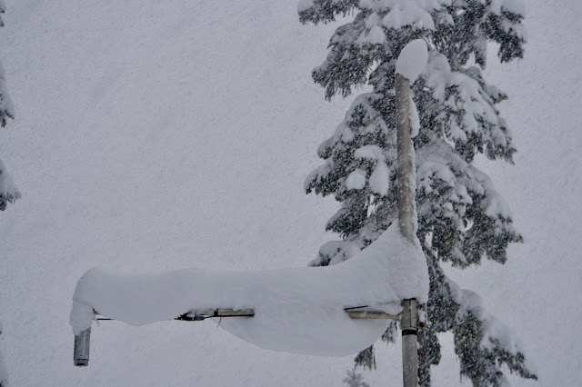
Perfect conditions for cornice growth.
Conditions are as good as they get.
Wednesday around 13:00 Hrs. We were very lucky with what we got yesterday.
Big picture on Wednesday afternoon.
Weather Observations for January 25, 2018 taken at 06:00 Hours.
2180 meters -8, Winds were 40-50 KPH SE--Whistler Peak
1835 meters -9, Winds were 20-25 KPH SE--Roundhouse
1660 meters -9, 19 cm of new, 40 cm in 24 hrs Base 294 cm --Pig Alley
660 meters -1, Valley Temp, Max Temp Yesterday was +1.0 , 16.7 mm of precip recorded yest
As of 07:00 hrs this am we have scattered clouds and unlimited visibility.
FORECAST:
A cool upper level trough in a Southerly flow aloft will bring periods of light snow to the area today with the freezing level hovering near surface. We can expect some breaks today with unsettled weather. A weak short wave trough will move through on Friday with periods of light snowfall and valley freezing levels. A warm front will gradually push through on Saturday with the freezing level beginning an upward trend into Sunday, likely rising to 1800 meters. A cold front will follow in its wake Monday with the FL dropping back to 800 meters. We can expect significant precipitation out of this system with 40+ centimetres expected above 1800 m on Sunday.
A cooling trend into Monday will bring a welcome 15+ centimetres by Tuesday morning.
Guesstimates: 4-8 cm by Friday morning, 5-10 cm by Saturday morning, 5-15 cm by Sunday morning, 25-50 cm above 1700 meters by Monday morning.
GOES IR image from this am.
Slightly cooler today.
Fronts along the coast.
Trough continues to send flurries our way Friday.
INFORMATION & OBSERVATIONS:
At around noon yesterday it was snowing 4 cm per hour.
Skiing on soft reloaded snow.
Even the rooster is buried.
There is a reason there called snow cats.
Yesterday, from 06:00 to 14:00 we received 21 cm at Pig alley, 23 cm at Catskinner weather Plot.
Yesterday afternoon the main moisture band was South of here, convective snow for us.
Recent Avalanche Canada MIN Reports:
Gin Peak Lap
Lower Flute
ARTICLES:
Man killed while snowboarding in bounds at Mount Washington: CTV News
Body of man recovered from an avalanche while gathering firewood: Kyrgyzstan
Volcanic tremors force suspension of rescue operations after eruption: Japan
Bigger, faster avalanches triggered by climate change: New York Times
Father shares memories of son killed in an avalanche near Silverton: Colorado
What's behind an avalanche: WeatherNation
Avalanche warning signs turned us around--Not just a gut feeling:Mtn Sledder


No comments:
Post a Comment