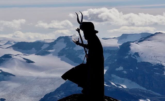
AVALANCHE ACTIVITY:
A serac avalanche may have killed a porter on Bottleneck couloir, K2.? Articles below. Net Pic.
Kosci cornice collapse. Thredbo, Australia. MSC Image
Na Sz 1.5 Slab avalanche 2023/07/29. Queenstown Area, NZ. Gordon Image
WEATHER PAST WEEK:
Monday July 24, 2023. 13:00 Hrs. +5 Deg C with a 30-50 KPH SE wind at 2280 m.
13:00 Hrs Monday. +14 Deg C. Rain total for Monday at 660 m was 11.4 mm.
Tuesday July 25, 2023. 12:00 Hrs. +4 Deg C with a 10-40 KPH SE wind at 1835 m.
12:00 Hrs Tuesday. +12 Deg C. Rain total for Tuesday at 660 m was 4.3 mm.
Wednesday July 26, 2023. 12:00 Hrs. +7 Deg C with a 5-10 KPH West breeze at 1835 m.
12:00 Hrs. Wednesday. +18 Deg C.
Thursday July 27, 2023. 12:00 Hrs.
12:00 Hrs Thursday. +23 Deg C
Friday July 28, 2023. 14:00 Hrs. +13 Deg C with a 5-10 KPH West wind at 1835 m.
14:00 Hrs Friday. +27 Deg C.
Saturday July 29, 2023. 12:00 Hrs. +10 Deg C with a 10-20 KIPH West wind at 1835 m.
12:00 Hrs Saturday. +19 Deg C.
Sunday July 30, 2023. 13:00 Hrs. +( Deg C with a 15-25 KPH SW wind at 1835 m.
13:00 Hrs Sunday. +22 Deg C.
Weather Observations for July 31, 2023 taken at 06:00 Hours.
2280 meters +3, Winds were 0-3 KPH NE--Horstman Hut
1860 meters +5, Winds were 2-4 KPH S--Rendezvous
1650 meters +5, 0 mm in 12 Hrs, 0 mm in 24 Hrs.--Pig Alley
1570 meters +6, 0 mm in 12 Hrs, 0 mm in 24 Hrs.--Catskinner
660 meters +9, Valley Temp, Max temp Yesterday was +22.6, 0.0 mm of precip yesterday.
As of 07:00 Hrs a mix of sun and cloud, unlimited visibility.
FORECAST:
Weak upper trough offshore, will bring a mix of sun and cloud for today in a SW flow aloft. Ridging from the interior will also influence the weather locally. The FL is hovering around 3000 m. Ridging for Tuesday, but may see some cloud from the upper trough. Ridge strengthens Wednesday/Thursday with mostly sunny skies. Warm temperatures. Upper level trough well off the coast may send cloud our way, but ridge may stick around for Friday. Onshore flow may bring some showers for Saturday, but that is a ways off. Weak trough with a mix of sun and cloud, possible isolated showers over the weekend. Mix of sun and cloud for Sunday. Model disagreement for early next week with a trough moving down the coast. Most of the troughs this summer have been relatively dry. Always difficult to look into the weather future. Guesstimates: 0 mm into Friday. 0-trace mm by Sunday. Drought continues.
GOES VISIBLE & IR Image from this am.

WINDY IMAGE 2023/07/31. 05:00 Hrs.

Weak upper level trough to the North, high in the S Interior. Seasonable Temps. Monday.

Dry day with a mix of sun and cloud on Monday.

Southwesterly flow aloft.

Weak upper level trough, mostly cloudy Tuesday. Seasonable temps.

Dry Tuesday but cloud may move in from offshore.

Ridge builds from the interior Wednesday. Seasonable temps. Mostly sunny.

Dry day on Wednesday with sunny skies.

Ridging Thursday with sunny skies. Slightly above average temps.

Another dry day Thursday.
Low to the South making a move. Some models calling for a dry sunny day Friday.
Unsettled Saturday, mix of sun and cloud. Chance of a shower.
Unsettled Sunday, mix of sun and cloud with a chance of a shower.
INFORMATION AND OBSERVATIONS:
Dusting on the highest peaks Monday pm. Renata Lewis Pic
Cool trough of low pressure bringing October weather.
06:30 Hrs Tuesday am, +10 Deg C raining lightly. 11.4 mm recorded Monday at 660 m.
Windy Image from same time frame as above image.
Clear skies, no smoke in the Southern Okanagan Area. Wednesday.
A much different image of the South Oakanagan Valley Saturday.
214 bucketing a fire between Lytton & Lillooet Wednesday.
Awesome weather on Thursday for Crankworx. High in the valley of +25.7 Deg C.
Friday morning, you could smell the smoke in the valley. 3 Fires burning NE of Whistler.
Joyride Saturday pm. No Rain, No Smoke. Wind Delay! One run event!
Spills and thrills at the 2023 Joyride on Saturday.
Overlord Peak Sunday am.
SHORT CLIPS:
Downhill Mtn Biking: Drone Footage
Hitting a Root: Ouch
Summer Training: Skimo
Kite Surfing: Slowmo
ARTICLES:
Pakistani porter may have died in a serac avalanche: K2
Avalanches halt Lucy Westlake's effort to climb worlds 2nd highest mountain: K2
Conflicting reports from K2 on the death of a Pakistani porter, and avalanches: Explorersweb
Not sure if this was an avalanche or a mudslide, death toll rises to 29: Columbia
New Zealand issues high avalanche warning: July 28, 2023
Tree-ring derived avalanche frequency and climate associations in a high altitude mountain climate: Alaska
Avalanche and road snow warnings: New Zealand
El Nino influence for the upcoming winter: Severe Weather Europe
Two full moons in August: August 1 & 30.
If you enjoy the content and find it useful, please hit the donate button, top right on side bar!

.jpeg)
.jpeg)
.jpeg)
.jpeg)
.jpeg)
.jpeg)
.jpeg)
.jpeg)
.jpeg)
.jpeg)
.jpeg)
.jpeg)
.jpeg)
.jpeg)
.jpeg)
.jpeg)
.jpeg)
.jpeg)


.jpeg)
.jpeg)
.jpeg)
.jpeg)
.jpeg)
.jpeg)
.jpeg)
.jpeg)
.jpeg)
.jpeg)
.jpeg)
.jpeg)

No comments:
Post a Comment