16 Feb 2017

February 16, 2017


    AVALANCHE ACTIVITY:

    An avalanche at the Tagori Onsen Ski Resort in Japan has claimed a Ski Patroller.           Net Pic

   Avalanche control on WB produced Sz 1-2 wet loose and wet slab avalanches.


    YESTERDAY:

    Snow line was down to 1000 meters Wednesday morning, February 15, 2016.

    Wet snow at 1835 meters.

    Sz 2 results with Xe on Cougar Chutes.

    Alpine was closed on Wednesday.

    Moist in the valley.

    High and low level clouds.

   Wednesday morning


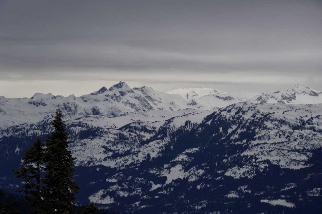
Weather Observations for February 16, 2017: taken at 06:00 Hours.

2240 meters      -3, Winds were 80-120 KPH SW  --Horstman Hut 
2180 meters      -3, Winds were 70-110 KPH SSW--Whistler Peak
1860 meters      -2, Winds were 30-65 KPH S        --Rendevous
1835 meters      -1, Winds were 25-70 KPH SE      --Roundhouse
1650 meters       0, 1 cm of new snow, 1 cm in 24 hrs, 256 cm Base, RH 95%  --Pig Alley
1550 meters       0, trace of new snow, trace in 24 hrs, 184 cm Base, RH 94%  --Catskinner 
  660 meters     +6, Valley Temp, Max Temp Yesterday was +3.6, 39.7 mm of Precip recorded yest

Maximum gust last night at 2180 meters was 132 KPH at 05:00 Hrs.

   As of 07:00 Hrs this am we have obscured skies, variablre visibility, and it is snowing 1 cm per hour .

FORECAST:

A weakening broad upper level trough will bring cooler and showery weather to the area today in a Southwest flow aloft. We can expect light snow fall with the FL slowly descending to about 1000 meters by tonight. Winds should abate later this morning/early afternoon. `Friday will be unsettled as a weak warm high pressure builds in the am with unsettled weather in the afternoon. The FL will slowly drop from a daytime high of 1300 meters to the surface by Friday night. A dry weak frontal band will move through Saturday with overcast skies and some isolated intermittent snow flurries. The FL on Saturday will max out at around 1000 meters and drop to near surface. A slightly more active front will move in for Sunday with light snowfall and the FL hovering just above surface. A series of weak frontal bands from a long wave trough will keep the weather active early next week with cool temperatures and more snow. Guesstimates: 10-15 cm by Friday morning? perhaps a bit more, trace-2 cm by Saturday morning, trace-1 cm for Sunday morning, 4-8 cm by Monday morning.


    GOES IR image from this am.

    Weakening but we could see some light convective snowfall today.

    Unsettled for Friday.

    Mostly cloudy Saturday as the brunt of the moisture moves South.


   Light snowfall for Sunday with cooler temperatures.


OBSERVATIONS & INFORMATION:

    Drifting even at tree line.

   Snowballing at 1700 meters.

   Ski cutting in the morning produced Sz 1 Avalanches.

    There were some size able puddles on the road.

    Very wet Wednesday, 39.7 mm recorded at Nester's Weather Station.


ARTICLES:

Ski Patroller killed in an avalanche at Tagori Onsen Ski Resort: Japan

"Whumph" and then an Avalanche near Canmore injures two: Calgary Sun

Snow boarders caught in avalanche, fight off moose near Aspen: Colorado

CBT announces $450,000.00 in funding for Avalanche Canada: Columbia Basin Trust

Give thanks to your Ski Patroll: Powder

Conditions Report-Coast Feb 15, 2017: Mountain Sledder

15 Feb 2017

February 15, 2017


    AVALANCHE ACTIVITY:

   An avalanche in the Flat Tops Wilderness Area of CO has claimed a backcountry snowbiker.

    No new avalanche activity locally, some wet loose snowballing, 1 observed Na Sz 2.5 on Duffy


    YESTERDAY:

    First light Monday February 14, 2017.

    Some nice light when the sun rose.

    Looking to the North!

    Looking South.

    Sun crust from Mondays heat wave, glimmering in the sun.


    Early Tuesday morning.

    Moisture plum is certainly sub tropical. Tuesday afternoon.

   Light snow in the alpine as the front pushed in at 15:45 Hrs.

    Awesome light and clouds.

    Clouds increased as the day progressed.

    Very light snow by 15:30 hrs.


    Moist looking later in the day.


Weather Observations for February 15, 2017: taken at 06:00 Hours.

2240 meters    -2, Winds were 80-100 KPH SE   --Horstman Hut 
2180 meters    -2, Winds were   55-85 KPH S     --Whistler Peak
1860 meters      0, Winds were  40-60 KPH SE   --Rendevous
1835 meters      0, Winds were  25-50 KPH ESE--Roundhouse
1650 meters      0, 16 cm of new snow, 16 cm in 24 hrs, 268 cm Base, RH 97%  --Pig Alley
1550 meters      0, 15 cm of new snow, 15 cm in 24 hrs, 197 cm Base, RH 100%  --Catskinner 
  660 meters    +1, Valley Temp, Max Temp Yesterday was +6.1, 3.4 mm of Precip recorded yest

   As of 07:00 hrs this am we have obscured skies, limited visibility and it is snowing 2 cm per hour.


 FORECAST:

A strong Pacific front is moving through the zone today with a warm, moist Southwest flow. The freezing level will hover in the 2000 meter range into this evening, and has the potential to spike to 2400 meters mid day. A cold front will move through tonight and the heavy precipitation should abate with the return to snow in the sub alpine and the FL dropping to 1400 meters by Thursday morning. The broad upper trough forecasted for Friday will, now arrive on Thursday with cooler showery weather into the weekend. A series of weak fronts will push through each day over the long weekend with the one arriving on Monday being the most active. The FL over this period will fluctuate from around 1000 meters to surface as the frontal bands push through on a daily basis.
Guesstimates: 15-20 cm( update 25-35) by Thursday morning-25-30 mm during the day, 15-20 cm by Friday morning,   2-4 cm by Saturday mornig, trace-2 cm by Sunday morning.

    Active warm front for today.

    Warm windy wet Pacific front drawing from the sub tropics.

   Cooler front for Thursday with moderate/light snowfall

    Saturday is looking like the driest day, mostly cloudy.

   Looks like a good strom day on Monday with moderate snow fall during the day. 25-35 cm.

   OBSERVATIONS & INFORMATION:

    Very thin breakable crust at1850 meters South aspect.

    Transceiver Practise.

    Awareness challenge on P.T.S.D. carefully moving a large tire uphill beside Cloud Nine in the trees.
.

    Strong winds on the Horstman Glacier late Tuesday morning.

   Snow was being transported by winds up to 70 KPH yesterday morning.


ARTICLES:

Backcountry Snow Biker killed in Colorado Avalanche: Flat Tops Wilderness Area

Avalanches on Idaho highways close access to Stanley: Hwy 75 & 21

Why everyone should take an Avy 1 course: Powder

Heavy artillery, new technology key in preventing deadly avalanches: Utah

Avalanche Triggering (Tignes): Pistehors.com

What I learned from watching my best friend survive an avalanche: Teton Gravity Research

14 Feb 2017

February 14, 2017


    AVALANCHE ACTIVITY:

    Search confirmed only 4 fatalities in Tignes avalanche, story below.               Tom Finnigan Image

    Wet loose avalanches on Wedge Monday.                                                   Bridget Mcclarty Image

    Lakeside bowl closed yesterday, once it became active wet loose avalanche across the traverse.

    WB patrol did some cornice work on Monday, be wary of debris in some of the bowls.

    YESTERDAY:

    Early morning light on Whistler-- Monday February 13, 2017.

    East facing slopes.

    Mount Weart.

    Monday morning.

    Overlord Glacier.

    Mid day Monday, looks like some good precipitation on its way.

    Nice snow on North facing slopes in the morning.

    Yesterday saw exactly 10 hours of daylight. Sunrise 07:26-Sunset 17:26. We are gaining 4 min/day


Weather Observations for February 14, 2017: taken at 06:00 Hours.

2240 meters    -1, Winds were 50-70 KPH SE--Horstman Hut 
2180 meters     0, Winds were 45-60 KPH SE--Whistler Peak
1860 meters   +2, Winds were 15-40 KPH S  --Rendevous
1835 meters   +3, Winds were 20-40 KPH SE--Roundhouse
1650 meters   +3, 0 cm of new snow, 0 cm in 24 hrs, 254 cm Base, RH 50%  --Pig Alley
1550 meters   +1, 0 cm of new snow, 0 cm in 24 hrs, 187 cm Base, RH 54%  --Catskinner 
  660 meters    -2, Valley Temp, Max Temp Yesterday was +7.1, 0.0 mm of Precip recorded yest

   As of 07:00 Hrs this am we have high overcast and unlimited visibility.


FORECAST:

The upper level ridge will begin to shift East today allowing clouds to move in to the area in a Southwesterly flow. The first of a series of fronts will arrive tonight with wet warm windy conditions into Wednesday. The Fl should drop to about 1600 meters this evening with the arrival of the strong moist SW flow. Still some guessing in the FL for Wednesday but hopefully the day starts with the FL around 1600 meters slowly rising throughout the day to a high of 2200 meters, dropping again to 1600 meters by Thursday morning.  A cooler front will arrive for Thursday with light/moderate precipitation, with the FL dropping to just above surface by the evening. A broad upper trough will move in for Friday into Monday with unsettled weather, cloudy at times but with some breaks and a fluctuating FL. Values will be as high as 1000m and as low as surface. Guesstimates: 15-20 cm above 1500 meters by Wednesday morning, 30-50 mm of rain by Thursday morning, 15-20 cm by Friday morning, 4-6 cm by Saturday morning.


    Clouds will develop ahead of the frontal band.

   High pressure will slide East today with the first front arriving tonight.

    Front is heading our way!!


   A bit of a Pineapple Express on its way, Wednesday.

    Low will be over us Thursday, with cooler temperatures.


    OBSERVATIONS & INFORMATION:

   Happy Valentines day.


February 13 at 7:15pm

For you weather geeks out there. Conrad Anker posted this amazing interactive weather app. Thought there would be a few people interested to see this. 

https://www.ventusky.com/?p=50.1;-122.9;5&l=temperature&t=20170216/06

   Blue Bird for most of the day except for a few distant high clouds.

   Fairly new cornice drop with a small slab release, on lower disease ridge..

   Debris from a roof avalanche.

   Cool light at days end.


ARTICLES:

Four killed in Tignes Avalanche: France

Critical Avalanche Situation in large parts of the Alps: WePowder

8 People trapped in their cars as an avalanche buries the road: Kyrgyzstan

Skiers fined for skiing in closed area while avalanche control being performed: Crystal Mountain