
AVALANCHE ACTIVITY:
.jpeg)
.jpeg)
.jpeg)
.jpeg)
.jpeg)
.jpeg)
Minimal avalanche control on Blackcomb. Xe testing in PCT.
.jpeg)
.jpeg)
Avalanche mitigation on Whistler produced some Sz 1-1.5 Cornice and windslab results.
.jpeg)
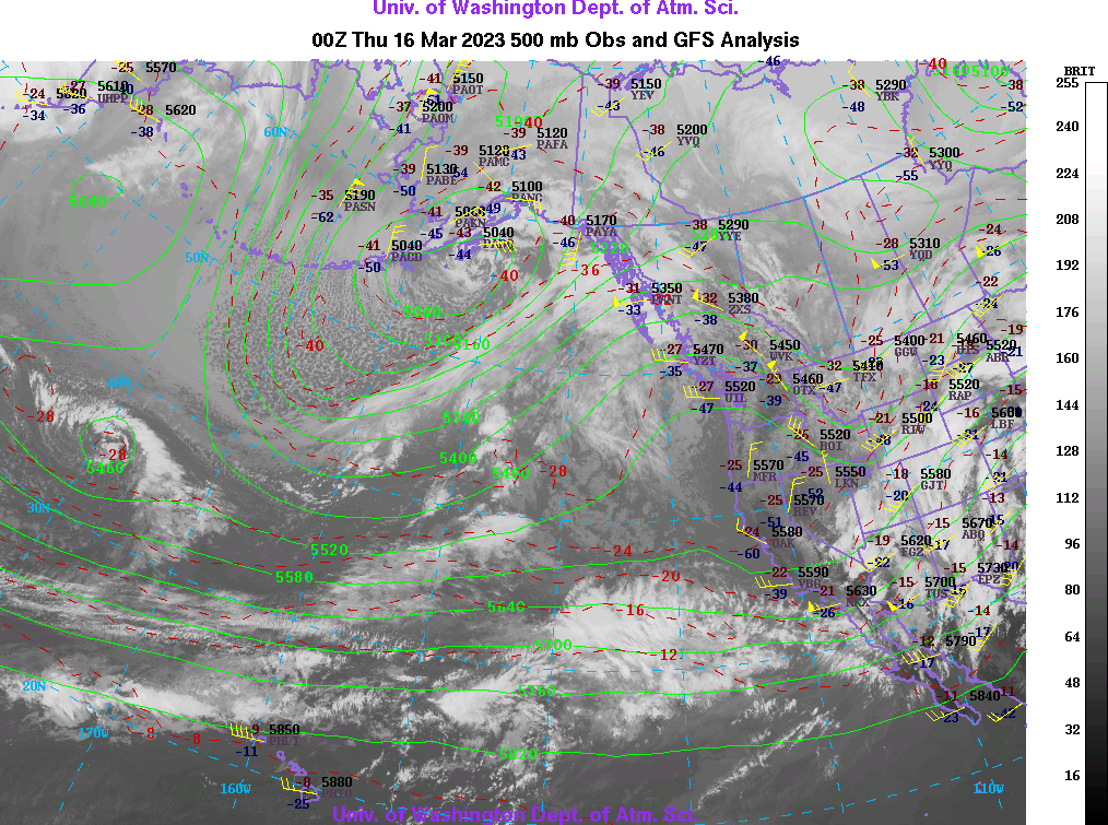
WEATHER YESTERDAY:
.jpeg)
.jpeg)
.jpeg)
.jpeg)
.jpeg)
.jpeg)
.jpeg)
Weather Observations for March 16, 2023 taken at 06:00 Hours.
2280 meters -11, Winds were 15-20 KPH ESE--Horstman Hut
2180 meters -9, Winds were 15-25 KPH ESE--Whistler Peak
1860 meters -9, Winds were 0-5 KPH E--Rendezvous
1835 meters -10, Winds were 5-10 KPH N--Round House
1650 meters -10, 0 cm in 12 Hrs, 0 cm in 24 Hrs. Base 243 cm--Pig Alley
1570 meters -9, 0 cm in 12 Hrs, 0 cm in 24 Hrs. Base 165 cm--Catskinner
660 meters -6, Valley Temp, Max temp Yesterday was +5.6, 0.6 mm of precip yesterday.
.jpeg)
.jpeg)
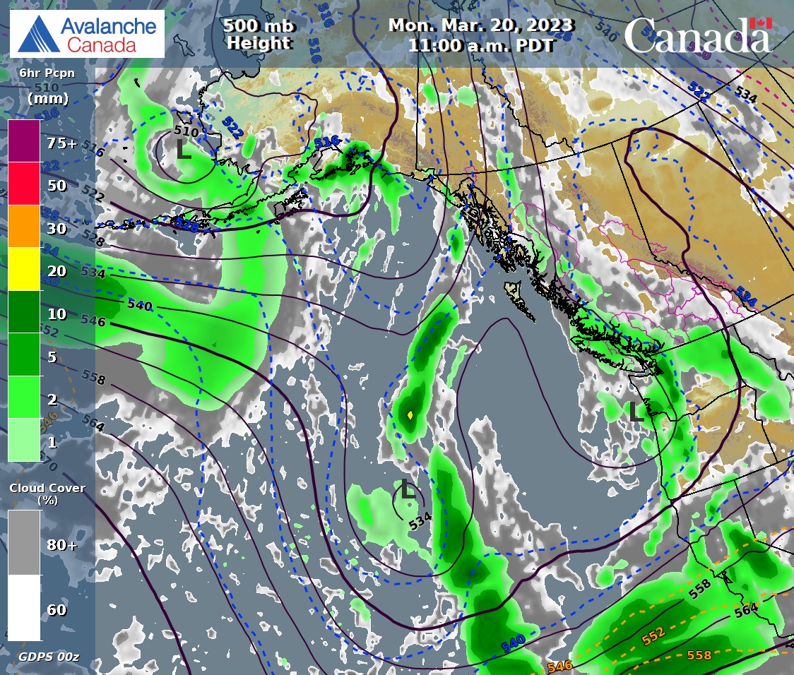
FORECAST:
A broad upper ridge will bring mostly sunny skies and some high cloud in a Westerly flow aloft. Cool nights and warm mid day temperatures. The FL is below surface this am, spiking to 1500 m with day time heating dropping back to below surface tonight. Mostly sunny on Friday as the ridge strengthens. Still some cloud in the mix. Saturday will be mostly cloudy with sunny breaks with warm temperatures. Overcast for Sunday as a front slowly moves down the coast. Flurries possible in the pm with the brunt of the frontal band arriving Sunday night. The front intensifies Monday with light/moderate precipitation and moderate winds. Unfortunately it looks warm. Guesstimates: 0 cm by Friday am, 0 cm by Saturday am, 0-trace by Sunday am, 2-5 mm by Monday am, 8-12 mm by Tuesday am.
.jpeg)


.jpg)


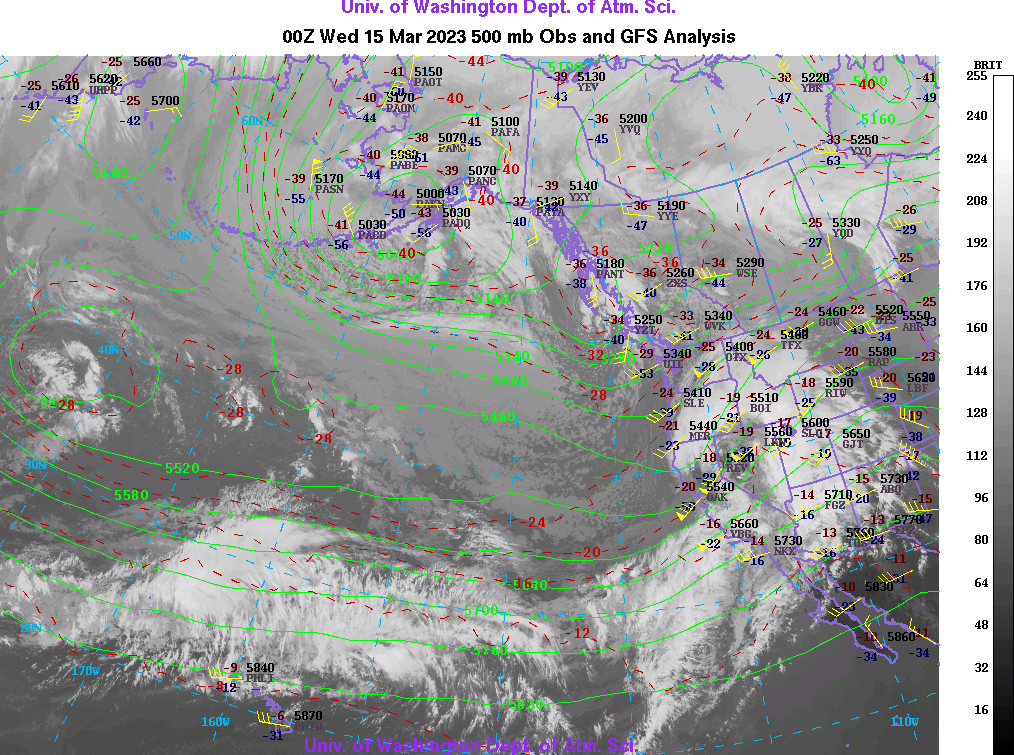
INFORMATION & OBSERVATIONS:
.jpeg)
.jpeg)
It is only 09:30 Hrs.
.jpeg)
.jpeg)
.jpeg)
.jpeg)
.jpeg)
.jpeg)
.jpeg)
.jpeg)
.jpeg)
Became overcast by 16:45 Hrs.
FROM AVALANCHE CANADA:
Travel and Terrain Advice
Don't be too cavalier with decision making, storm slabs may remain sensitive to human triggering.
Watch for newly formed and reactive wind slabs as you transition into wind affected terrain.
Closely monitor how the new snow is bonding to the crust.
Avoid sun exposed slopes when the solar radiation is strong, especially if snow is moist or wet
Pay attention to cornices and give them a wide berth when traveling on or below ridges.
CONSIDERABLE--SEA TO SKYN ADVISORY available top right sidebar.
LOCAL MIN REPORTS:
Seymour: March 15, 2023
SHORT CLIPS:
Nice flip: Great Snow Conditions
Seems like the thing to do: Mountain Art
Snowboarding: Tahoe
Just ski faster than the: Avalanche
Recent avalanche in Ski Area: Tignes
ARTICLES:
A snowboarder has died in an avalanche on Paulina Peak: Oregon
Man survives avalanche near Cooke City, catches it all on camera: Montana
Caltrans update on Mono Lake Road avalanches: California
Avalanche danger for most of Montana: High
Avalanches, hazardous conditions close multiple canyons: Utah

If you enjoy the content and find it useful, please hit the donate button, top right on side bar.
Send me recent avalanche images. E-Mail top right of the side bar. Read Below:
Goggle contest returning again this year, win a pair of Marker goggles for the best avalanche image for the months of February-March, April-May. Grand prize best image of the season will be a Pair of Prior Skis or a Split Board awarded at the end of May.
.jpeg)
.jpeg)
.jpeg)
.jpeg)
.jpeg)
.jpeg)
.jpeg)
.jpeg)
.jpeg)
.jpeg)
.jpeg)
.jpeg)
.jpeg)
.jpeg)
.jpeg)
.jpeg)
.jpeg)
.jpeg)

.jpeg)


.jpeg)
.jpeg)
.jpeg)
.jpeg)
.jpeg)
.jpeg)
.jpeg)
.jpeg)
.jpeg)
.jpeg)
.jpeg)
.jpeg)
.jpeg)