PAST WEEK:
Monday June 6, 2022. 12:00 Hrs. +4 Deg C with a 15-20 KPH WSW wind.
Tuesday June 7, 2022. 12:00 Hrs. +8 Deg C with a 5-20 KPH ESE wind.
Wednesday June 8, 2022. 12:00 Hrs. +4 Deg C with a 10-30 KPH SE wind.
Thursday June 9, 2022. 12:00 Hrs. +2 Deg C with a 15-35 KPH ESE wind.
Friday June 10, 2022. 12:00 Hrs. +6 Deg C with a 10-30 KPH ESE wind.
Saturday June 11, 2022. 12:00 Hrs. +5 Deg C with a 15-25 KPH S wind.
Sunday June 12, 2022. 12:00 Hrs. +3 Deg C with a 0-5 KPH West breeze.
Weather Observations for June 13, 2022 taken at 06:00 Hours.
2180 meters -2, Winds were 15-20 KPH WSW--Whistler Peak
1835 meters +1, Winds were 10-20 KPH SW--Round House
1650 meters +2, 0.1 mm in 12 Hrs, 1.8 mm in 24 Hrs --Pig Alley
660 meters +9, Valley Temp, Max temp Yesterday was +17.9, 1.0 mm of precip yesterday.
As of 07:15 Hrs we have broken cloud and variable visibility.
FORECAST:
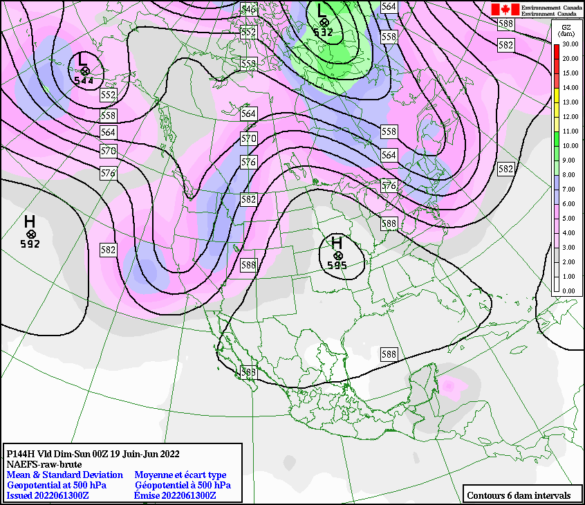
Increasing cloud cover as a low to the East slowly pushes into the area in a Southeasterly flow aloft. Showers during the day, may see some drier weather tonight. Freezing level should hover around 2000 m. Very complex pattern with the low to the east and one to the West. More periods of light rain on Tuesday am before the low begins to shift to the East. Likely overcast for most of the day with some sunny breaks possible later in the pm. Weak trough arrives Wednesday with periods of light rain in the pm. Low will send more rain on Thursday. More of the same Friday and Saturday. May see a dirty ridge push in for Sunday. The cool moist pattern continues. Guesstimates: 2-4 mm by Tuesday am, 0-trace by Wednesday am, 2-6 mm by Thursday am, 3-6 mm by Friday am, 1-3 mm by Saturday am, 1-3 mm by Sunday am.
GOES IR Image from this am.

GOES 17 ABI Image. 2022/06/13. 05:00 Hrs.

Low to the East will affect the South Coast today, with a low to the west as well.

Some precipitation for today, depends on how much the low to the East pushes onto the coast.

Southerly-Southeasterly flow aloft.
Low to the east still the weather driver. Could be wet with an afternoon break from the high.
On the edge of the low but looks like periods of rain Tuesday.
Low to the East shifts to the East. Low along the coast will bring mostly overcast weather.
Overcast Wednesday, some showers in the pm.
Low will bring periods of light rain Thursday.
May see some breaks by Friday but European model calling for showers.
Hopefully we will see some unsettled weather on Saturday, time will tell.
Some time from now but looks like a low for Saturday.
May see a dirty ridge from the high on Sunday.
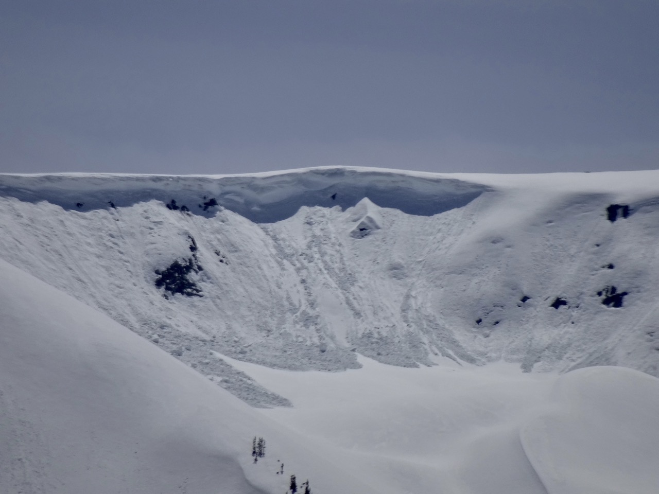
AVALANCHE ACTIVITY:
From June 4, 2022. Washington State. PNWAC Update. Matt Image
Older avalanche activity, images taken June 7, 2022.
Older cycle but quite extensive.
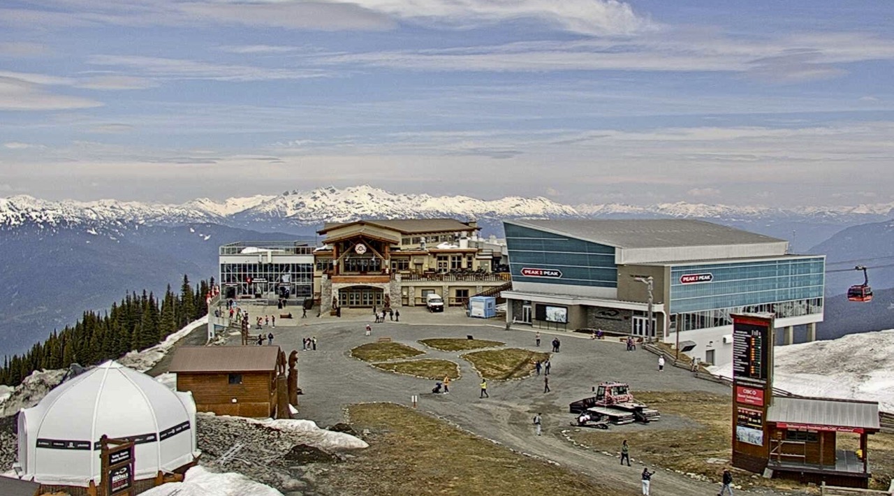
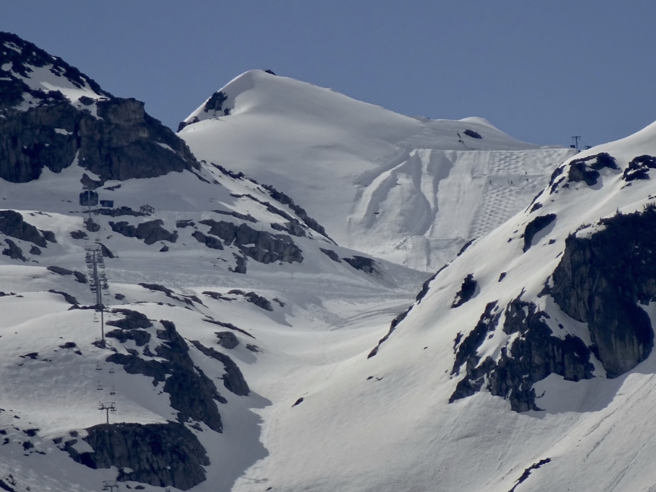
INFORMATION & OBSERVATIONS:
Mix of sun and cloud Monday. Noon. +15 Deg C.
Bluebird Tuesday am, some clouds moved in in the am, overcast by the later pm. Reshaping!
Hopefully the brunt of the precipitation goes South. June 8, 2022 Image.
12:00 Hrs Thursday. -1 Deg C at 2180 m. +11 Deg C at 660 m in Whistler.
AR event on Thursday. Most of the precipitation did stay South of Whistler. Some amounts below.
Whistler recorded 5.8 mm on Thursday, Squamish 14.1 mm, West Vancouver 30.4 mm.
17 mm recorded at 1650 m, Pig Alley.
Carousel of troughs continues in the European Models.
Mix of sun and cloud with some intermittent showers Saturday. 12:00 Hrs. +15 Deg C.
MIN REPORT FROM VANCOUVER ISLAND: Mount Becher
VIDEOS:
Large avalanche in Norway (article below): June 10, 2022
Jumping onto an : Avalanche
Snowmobile Racing on: Water
Lineup at PCMR last Xmas: What would you do?
ARTICLES:
Ski Tourer airlifted off of Vancouver Island Mountain amid avalanche risk: CVSAR
3 injured, up to 30 trapped after avalanche on June 10, 2022: Norway
Caution to Backcountry users as heavy snowfall generates avalanche risk: New Zealand
New Airbag from Arcteryx/Ortovox: LiTRIC
ENSO Diagnostic Discussion, La Nina: June 9, 2022
High avalanche danger delays clearing of Going-to-the-Sun Road: Montana
Pacific Northwest Avalanche Observations: June 5, 2022
How Healthy Mountain Culture leads to Safety and Healing: Intuition


.jpg)
.jpg)
.jpg)